
1950 Map of Big Delta B-4
USGS Topo · Published 1965About this map
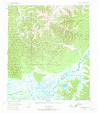
Shaw Creek Flats dominates the southern landscape of this 1950s study, revealing a complex network of wetlands and minor tributaries that characterize this interior Alaskan environment. The map details a transition from the low-lying, swampy expanses of Shaw Creek and Cottonwood Creek to the significant elevations found northward. These heights are punctuated by several vertical control points, including VABM 4084 Mid and VABM 3372 Cotton, which define the drainage basins of the Salcha River and its South Fork.
Find a feature on this map
17 named features on this map. Tap any name to fly to it.
Don’t see what you’re looking for? This feature index may not catch every label — zoom into the map to look around manually.
Map Details
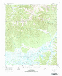
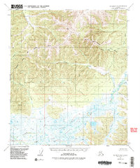
Editions of this 1950 Big Delta B-4 Map
4 editions found
Other maps of this area

1949 · Big Delta B-5
USGS Topo · 1:63,360

1950 · Big Delta
USGS Topo · 1:250,000

1950 · Big Delta A-5
USGS Topo · 1:63,360

1950 · Big Delta A-4
USGS Topo · 1:63,360

1951 · Big Delta
USGS Topo · 1:250,000

1952 · Big Delta A-5
USGS Topo · 1:63,360

1952 · Big Delta A-4
USGS Topo · 1:63,360

1952 · Big Delta B-5
USGS Topo · 1:63,360

1953 · Big Delta B-4
USGS Topo · 1:63,360

1955 · Big Delta A-3
USGS Topo · 1:63,360