
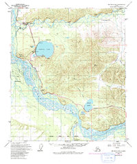
1949 Map of Big Delta B-6
USGS Topo · Published 1956About this map
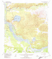
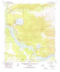
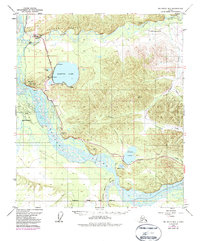
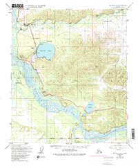
Ladd Air Force Base Bombing and Gunnery Range dominates the southern landscape of this 1949 survey, illustrating the significant military footprint in the Alaskan interior during the early Cold War. The Tanana River creates a sprawling braided network of channels across the valley floor, meeting the Little Delta River near the edge of the military reservation. This intersection of natural geography and defense infrastructure is bridged by the Richardson Highway, which serves as the primary artery for local travel and logistics.
Find a feature on this map
25 named features on this map. Tap any name to fly to it.
Don’t see what you’re looking for? This feature index may not catch every label — zoom into the map to look around manually.
Map Details
Editions of this 1949 Big Delta B-6 Map
6 editions found
Other maps of this area

1949 · Big Delta B-5
USGS Topo · 1:63,360

1949 · Fairbanks C-1
USGS Topo · 1:63,360

1949 · Big Delta C-6
USGS Topo · 1:63,360

1949 · Big Delta A-6
USGS Topo · 1:63,360

1949 · Fairbanks A-1
USGS Topo · 1:63,360

1950 · Fairbanks
USGS Topo · 1:250,000

1950 · Big Delta
USGS Topo · 1:250,000

1950 · Big Delta A-5
USGS Topo · 1:63,360

1950 · Fairbanks C-1
USGS Topo · 1:63,360

1950 · Fairbanks B-1
USGS Topo · 1:63,360