
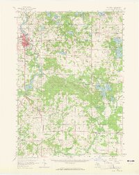
1958 Map of Big Rapids
USGS Topo · Published 1960About this map
The Muskegon River carves through the heart of Mecosta County, defining the growth of Big Rapids in the late 1950s. This industrial and educational hub is anchored by the Ferris Institute and a robust transport network, including the Pennsylvania railroad line. The landscape is a complex patchwork of glacial lakes and managed lands, from the Haymarsh Lake State Game Area in the north to the Chippewa River State Forest and portions of the Manistee National Forest in the south.
Find a feature on this map
104 named features on this map. Tap any name to fly to it.
Don’t see what you’re looking for? This feature index may not catch every label — zoom into the map to look around manually.
Map Details
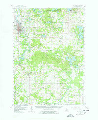
Editions of this 1958 Big Rapids Map
3 editions found
Other maps of this area

1954 · Midland
USGS Topo · 1:250,000

1958 · Midland
USGS Topo · 1:250,000

1958 · Sand Lake
USGS Topo · 1:62,500

1958 · Woodville
USGS Topo · 1:62,500

1959 · Midland
USGS Topo · 1:250,000

1959 · Howard City
USGS Topo · 1:62,500

1959 · Lake
USGS Topo · 1:62,500

1959 · Evart
USGS Topo · 1:62,500

1959 · Reed City
USGS Topo · 1:62,500

1964 · Six Lakes
USGS Topo · 1:24,000