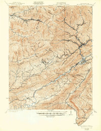
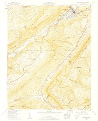
1957 Map of Big Stone Gap
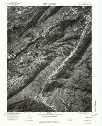
USGS Topo · Published 1959About this map
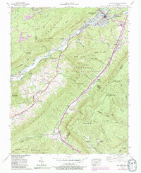
Big Stone Gap sits at the northern terminus of this landscape, where the Powell River cuts through the ridges of the Jefferson National Forest. The 1950s map documents a region defined by its narrow valleys and extensive family burial grounds, including the Reasor, Napier, and Coldiron cemeteries scattered along the mountain slopes. The local economy and social fabric are traced through sites like the Turkey Cove Seminary and the Southern and Louisville and Nashville railroads that facilitated the movement of resources through gaps like Olinger Gap.
Find a feature on this map
112 named features on this map. Tap any name to fly to it.
Don’t see what you’re looking for? This feature index may not catch every label — zoom into the map to look around manually.
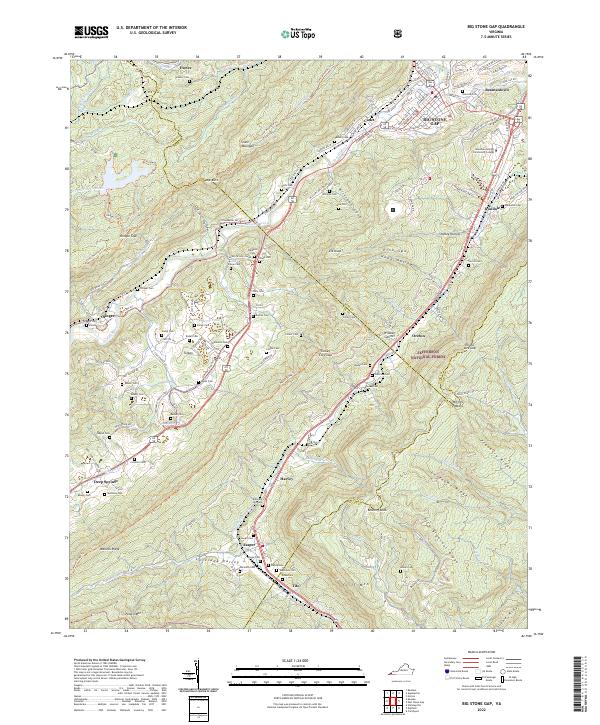
Map Details
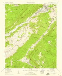
Editions of this 1957 Big Stone Gap Map
6 editions found
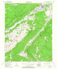
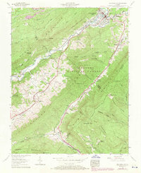
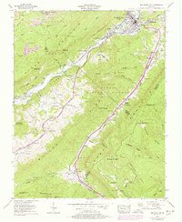
Historical Maps of Big Stone Gap Through Time
6 maps found