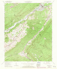
1957 Map of Big Stone Gap
USGS Topo · Published 1970About this map
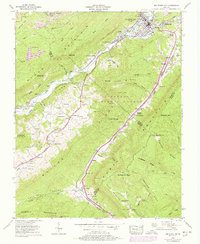
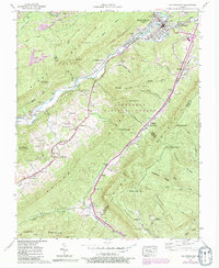
Big Stone Gap serves as the industrial and transport hub of this 1957 survey, situated at the confluence of the Powell River and South Fork. The map reveals a landscape defined by the extraction economy and the rugged topography of Stone Mountain and Pine Ridge, with coal operations such as Big Stone Gap No 2 and Big Stone Gap No 9 dotting the terrain. The presence of the Southern and Louisville and Nashville railroads underscores the importance of regional coal transport during the mid-20th century.
Find a feature on this map
102 named features on this map. Tap any name to fly to it.
Don’t see what you’re looking for? This feature index may not catch every label — zoom into the map to look around manually.
Map Details
Editions of this 1957 Big Stone Gap Map
6 editions found
Other maps of this area

1894 · Estillville
USGS Topo · 1:125,000

1920 · Wise
USGS Topo · 1:48,000

1921 · Big Stone Gap
USGS Topo · 1:48,000

1921 · Wise
USGS Topo · 1:62,500

1922 · Big Stone Gap
USGS Topo · 1:62,500

1929 · Big Stone Gap
USGS Topo · 1:62,500

1935 · Moggasin
USGS Topo · 1:48,000
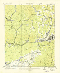
1935 · Norton
USGS Topo · 1:24,000
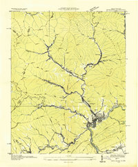
1935 · Appalachia
USGS Topo · 1:24,000

1935 · East Stone Gap
USGS Topo · 1:24,000