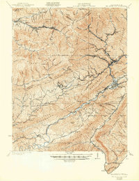
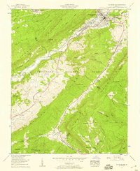
1957 Map of Big Stone Gap
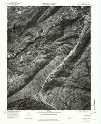
USGS Topo · Published 1978About this map
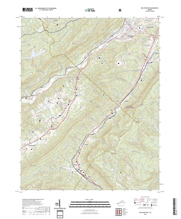
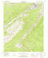
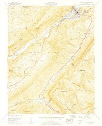
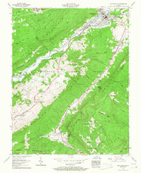
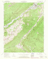
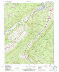
Stone Mountain and Powell Mountain dominate the geography of this Appalachian quadrangle, where the Powell River carves a path through the ridge-and-valley terrain. The industrial and cultural history of the region is evident in the rail networks of the Southern Railway and the Louisville and Nashville Railroad that connect coal-country settlements like Exeter and Irondale. The map reveals a deeply rooted rural community, marked by an exceptional density of family-named burial grounds including Reasor Cem, Collier Cem, and Arbuckle Hill Cem.
Find a feature on this map
99 named features on this map. Tap any name to fly to it.
Don’t see what you’re looking for? This feature index may not catch every label — zoom into the map to look around manually.
Map Details
Editions of this 1957 Big Stone Gap Map
6 editions found
Historical Maps of Big Stone Gap Through Time
6 maps found