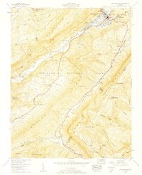
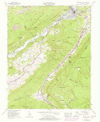
1957 Map of Big Stone Gap
USGS Topo · Published 1959About this map
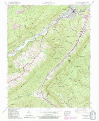
The mountain town of Big Stone Gap serves as a focal point where the Powell River meets the industrial infrastructure of the late 1950s. This survey, conducted by the Tennessee Valley Authority and published by the Geological Survey, illustrates a landscape defined by the Southern Railway and the Louisville and Nashville Railroad as they navigate the ridges of the Jefferson National Forest. Notable for its high density of family cemeteries such as Exeter Cem and Reasor Cem, the area reflects deep-rooted Appalachian genealogy within the folds of Stone Mountain and Wallen Ridge.
Find a feature on this map
102 named features on this map. Tap any name to fly to it.
Don’t see what you’re looking for? This feature index may not catch every label — zoom into the map to look around manually.
Map Details
Editions of this 1957 Big Stone Gap Map
6 editions found
Other maps of this area

1894 · Estillville
USGS Topo · 1:125,000

1920 · Wise
USGS Topo · 1:48,000

1921 · Big Stone Gap
USGS Topo · 1:48,000

1921 · Wise
USGS Topo · 1:62,500

1922 · Big Stone Gap
USGS Topo · 1:62,500

1929 · Big Stone Gap
USGS Topo · 1:62,500

1935 · Moggasin
USGS Topo · 1:48,000
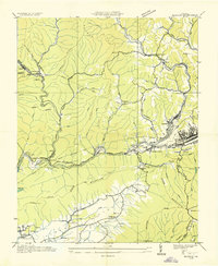
1935 · Norton
USGS Topo · 1:24,000
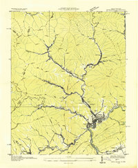
1935 · Appalachia
USGS Topo · 1:24,000

1935 · East Stone Gap
USGS Topo · 1:24,000