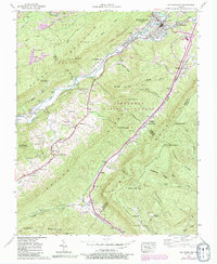
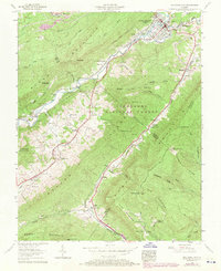
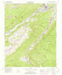
1957 Map of Big Stone Gap
USGS Topo · Published 1992About this map
The Powell River cuts through the Appalachian landscape, anchoring the bustling industrial and residential hubs of Big Stone Gap and South. In the late 1950s, this region was a critical nexus for the Southern and L & N RR railroads, which serviced the surrounding coal mining operations, including a prominent Strip Mine near Exeter. The map reveals a dense network of family heritage and mountain spirituality, featuring numerous country sanctuaries such as Stone Mountain Chapel and Phillips Chapel, alongside dozens of family burial grounds like Wampler Cem and Reasor Cem.
Find a feature on this map
107 named features on this map. Tap any name to fly to it.
Don’t see what you’re looking for? This feature index may not catch every label — zoom into the map to look around manually.
Map Details
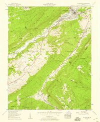
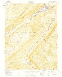
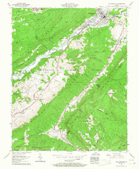
Editions of this 1957 Big Stone Gap Map
6 editions found
Other maps of this area

1894 · Estillville
USGS Topo · 1:125,000

1920 · Wise
USGS Topo · 1:48,000

1921 · Big Stone Gap
USGS Topo · 1:48,000

1921 · Wise
USGS Topo · 1:62,500

1922 · Big Stone Gap
USGS Topo · 1:62,500

1929 · Big Stone Gap
USGS Topo · 1:62,500

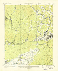
1935 · Moggasin
USGS Topo · 1:48,000
1935 · Norton
USGS Topo · 1:24,000
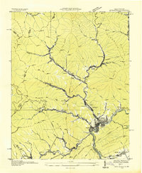
1935 · Appalachia
USGS Topo · 1:24,000

1935 · East Stone Gap
USGS Topo · 1:24,000