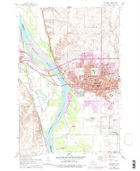
1962 Map of Bismarck
USGS Topo · Published 1977About this map
The Missouri River serves as the central artery and dividing line between Mandan and the expanding state capital of Bismarck during this mid-century period. The landscape is deeply tied to North Dakota's early frontier history, evidenced by the extensive Fort Lincoln State Park and the adjacent Fort Lincoln Military Reservation. These sites, along with the Fort McKeen Historic Site and ancient Indian Mounds, reflect a complex layering of indigenous and military heritage at the confluence with the Heart River.
Find a feature on this map
69 named features on this map. Tap any name to fly to it.
Don’t see what you’re looking for? This feature index may not catch every label — zoom into the map to look around manually.
Map Details
Editions of this 1962 Bismarck Map
3 editions found

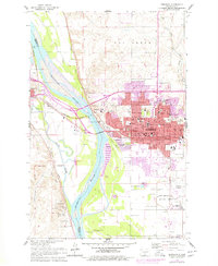
Other maps of this area

1907 · Bismarck
USGS Topo · 1:125,000

1950 · Bismarck
USGS Topo · 1:24,000

1951 · Menoken SW
USGS Topo · 1:24,000

1951 · Bismarck
USGS Topo · 1:62,500

1951 · Mandan
USGS Topo · 1:24,000

1951 · Menoken
USGS Topo · 1:62,500

1954 · Bismarck
USGS Topo · 1:250,000

1958 · Bismarck
USGS Topo · 1:250,000

1962 · Sugarloaf Butte
USGS Topo · 1:24,000

1962 · Schmidt
USGS Topo · 1:24,000