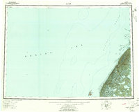
1951 Map of Black
USGS Topo · Published 1958About this map
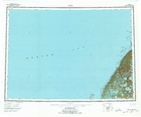
The labyrinthine distributaries of the Yukon Delta meet the Bering Sea in this mid-century record of western Alaska's coastal topography. Small settlements such as Waklarok and Kwiguk are documented along the intricate waterways, where the Kwiguk River and Kanyoulik River navigate through a landscape of marsh and mud. This survey details the hydrography of Norton Sound, capturing the shifting nature of the delta through named waterways like Kwikluak Channel, Acharon Channel, and Kwemeluk Pass.
Find a feature on this map
23 named features on this map. Tap any name to fly to it.
Don’t see what you’re looking for? This feature index may not catch every label — zoom into the map to look around manually.
Map Details
Editions of this 1951 Black Map
6 editions found
Other maps of this area

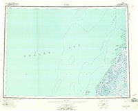
1951 · Marshall
USGS Topo · 1:250,000

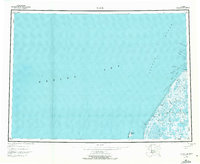
1951 · Hooper Bay
USGS Topo · 1:250,000

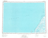
1951 · Black
USGS Topo · 1:250,000

1951 · St Michael
USGS Topo · 1:250,000

1952 · Kwiguk
USGS Topo · 1:250,000

1952 · Black A-2
USGS Topo · 1:63,360
1952 · Black C-1
USGS Topo · 1:63,360

1952 · Black A-1
USGS Topo · 1:63,360
1952 · Saint Michael A-6
USGS Topo · 1:63,360

1952 · Black B-1
USGS Topo · 1:63,360