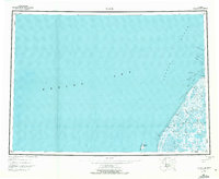
1951 Map of Black
USGS Topo · Published 1972About this map
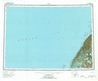
Bering Sea waters and the labyrinthine delta of the Yukon-Kuskokwim region dominate this mid-century hydrographic survey. The coastline is defined by a complex network of distributaries including the Kwikluak Channel, Nurukomarot Channel, and the wide mouth of the Black River. These waterways carve through a low-lying landscape of tundra and wetlands, creating significant navigable passages like Kwemeluk Pass and Kiangelevik Pass.
Find a feature on this map
19 named features on this map. Tap any name to fly to it.
Don’t see what you’re looking for? This feature index may not catch every label — zoom into the map to look around manually.
Map Details
Editions of this 1951 Black Map
6 editions found
Other maps of this area

1951 · Marshall
USGS Topo · 1:250,000

1951 · Hooper Bay
USGS Topo · 1:250,000

1951 · Black
USGS Topo · 1:250,000

1951 · St Michael
USGS Topo · 1:250,000

1952 · Kwiguk
USGS Topo · 1:250,000

1952 · Black A-2
USGS Topo · 1:63,360
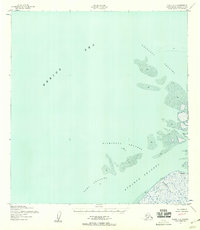
1952 · Black C-1
USGS Topo · 1:63,360

1952 · Black A-1
USGS Topo · 1:63,360
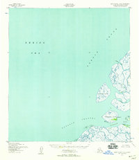
1952 · Saint Michael A-6
USGS Topo · 1:63,360

1952 · Black B-1
USGS Topo · 1:63,360