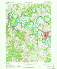
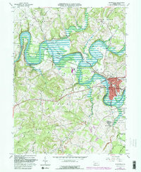
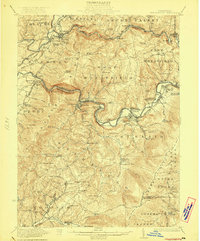
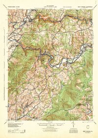
1964 Map of Blairsville
USGS Topo · Published 1972About this map
The Conemaugh River snakes through the heart of this Western Pennsylvania landscape, defining the boundary between Indiana and Westmoreland Counties. In the early 1960s, the borough of Blairsville stands as the primary hub, showing a concentrated street grid flanked by the Pennsylvania Railroad and the smaller settlement of Bairdstown across the river. To the north, the massive Conemaugh Dam Spillway controls the river's flow, creating large areas subject to controlled inundation that have altered the local geography.
Find a feature on this map
39 named features on this map. Tap any name to fly to it.
Don’t see what you’re looking for? This feature index may not catch every label — zoom into the map to look around manually.
Map Details
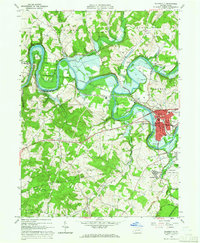
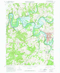
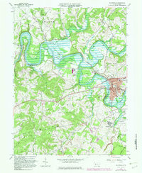
Editions of this 1964 Blairsville Map
5 editions found
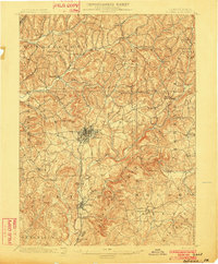
Other maps of this area

1900 · Latrobe
USGS Topo · 1:62,500

1902 · Latrobe
USGS Topo · 1:62,500
1902 · Indiana
USGS Topo · 1:62,500
1902 · Elders Ridge
USGS Topo · 1:62,500

1903 · Latrobe
USGS Topo · 1:62,500
1904 · Elders Ridge
USGS Topo · 1:62,500

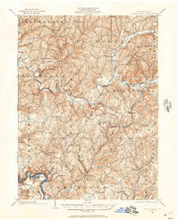
1920 · New Florence
USGS Topo · 1:62,500

1921 · New Florence
USGS Topo · 1:48,000
1922 · New Florence
USGS Topo · 1:62,500
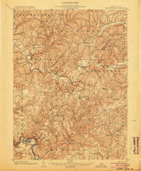
1944 · New Florence
USGS Topo · 1:62,500
Featured Places
- Blairsville, PA
- Black Lick Township, PA
- Burrell Township, PA
- Livermore, Derry Township
- Conemaugh Township, PA