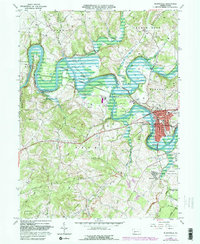
1964 Map of Blairsville
USGS Topo · Published 1982About this map
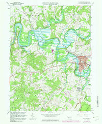
The Conemaugh River and its expansive Conemaugh River Lake dominate this landscape, controlled by the Conemaugh Dam and the Gaging Sta. The valley is a hub of mid-century infrastructure, where the Penn Central and Conrail lines intersect with an Old Railroad Grade and numerous Pipelines. Settlements like Blairsville show detailed urban footprints including the City Hall, High Sch, and the Blairsville Cem. Outside the main town center, the map reveals a rural landscape transitioning into industrial and institutional use, featuring the sprawling Torrance State Hospital and various extraction sites such as a Strip Mine, Quarry, and Mine. Significant local history is preserved in the locations of Old Salem Ch and Livermore, the latter situated near the inundation zone of the river lake.
Find a feature on this map
52 named features on this map. Tap any name to fly to it.
Don’t see what you’re looking for? This feature index may not catch every label — zoom into the map to look around manually.
Map Details
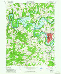
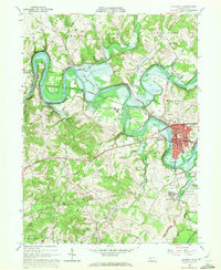
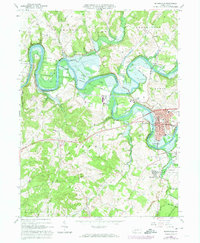
Editions of this 1964 Blairsville Map
5 editions found
Other maps of this area

1900 · Latrobe
USGS Topo · 1:62,500

1902 · Latrobe
USGS Topo · 1:62,500

1902 · Indiana
USGS Topo · 1:62,500

1902 · Elders Ridge
USGS Topo · 1:62,500

1903 · Latrobe
USGS Topo · 1:62,500

1904 · Elders Ridge
USGS Topo · 1:62,500

1920 · New Florence
USGS Topo · 1:62,500

1921 · New Florence
USGS Topo · 1:48,000

1922 · New Florence
USGS Topo · 1:62,500

1944 · New Florence
USGS Topo · 1:62,500
Featured Places
- Blairsville, PA
- Black Lick Township, PA
- Burrell Township, PA
- Livermore, Derry Township
- Conemaugh Township, PA