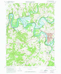
1964 Map of Blairsville
USGS Topo · Published 1974About this map
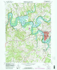
Blairsville stands as the primary hub in this mid-1960s survey, situated along the Conemaugh River at the junction of Burrell and Derry townships. The landscape is defined by the massive Conemaugh River Lake reservoir and the engineered Conemaugh Dam, which reshaped the valley's drainage. To the south, the extensive campus of the Torrance State Hospital occupies a significant tract near the Penn Central tracks, while industrial traces like strip mines and gas wells appear across the ridges. Genealogists will find several notable burial sites including Livermore Cem and Mt Carmel Cem. The transition from old infrastructure is evident in the presence of the Old Grade Railroad near the water's edge, contrasting with the active rail lines serving the coal and hospital complexes. This map captures a period when the region was balanced between its heavy industrial roots and newer recreational developments like Keystone State Park.
Find a feature on this map
43 named features on this map. Tap any name to fly to it.
Don’t see what you’re looking for? This feature index may not catch every label — zoom into the map to look around manually.
Map Details
Editions of this 1964 Blairsville Map
5 editions found
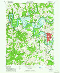
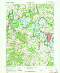
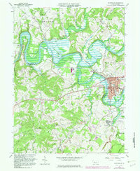
Other maps of this area

1900 · Latrobe
USGS Topo · 1:62,500

1902 · Latrobe
USGS Topo · 1:62,500

1902 · Indiana
USGS Topo · 1:62,500

1902 · Elders Ridge
USGS Topo · 1:62,500

1903 · Latrobe
USGS Topo · 1:62,500

1904 · Elders Ridge
USGS Topo · 1:62,500

1920 · New Florence
USGS Topo · 1:62,500

1921 · New Florence
USGS Topo · 1:48,000

1922 · New Florence
USGS Topo · 1:62,500

1944 · New Florence
USGS Topo · 1:62,500
Featured Places
- Blairsville, PA
- Black Lick Township, PA
- Burrell Township, PA
- Livermore, Derry Township
- Conemaugh Township, PA