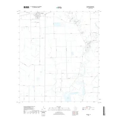
2019 Map of Blessing
USGS Topo · Published 2019About this map
The settlement of Blessing anchors this coastal Texas landscape, where a grid of local streets including Cottonwood St and Pecan Rd meets the open agricultural plains of Matagorda County. The terrain is defined by a complex drainage system flowing toward the Gulf, with Cashs Creek and Turtle Cr winding through the flatlands. Further east, the Tres Palacios River meanders toward its confluence at Tres Palacios Bay, creating a network of riparian features such as Compass Slough and Johnsons Timber Slough. Genealogists will find several significant burial sites across the quadrangle, from the centralized Blessing Cem to the more outlying Grimes Cem and Ashby Cem. The map reflects a landscape deeply tied to water management and rural transport, with an extensive network of county roads like Ohio Colony Rd and Fig Farm Rd connecting various homesteads and farms.
Find a feature on this map
56 named features on this map. Tap any name to fly to it.
Don’t see what you’re looking for? This feature index may not catch every label — zoom into the map to look around manually.
Map Details
Editions of this 2019 Blessing Map
This is the sole edition of this map. No revisions or reprints were ever made.
Other maps of this area

1952 · Blessing SE
USGS Topo · 1:24,000

1952 · Palacios
USGS Topo · 1:24,000

1952 · Turtle Bay
USGS Topo · 1:24,000

1952 · Francitas
USGS Topo · 1:24,000

1952 · Blessing
USGS Topo · 1:24,000

1952 · Markham
USGS Topo · 1:24,000

1952 · Francitas NE
USGS Topo · 1:24,000

1952 · Midfield
USGS Topo · 1:24,000

1952 · Palacios NE
USGS Topo · 1:24,000

1953 · Beeville
USGS Topo · 1:250,000