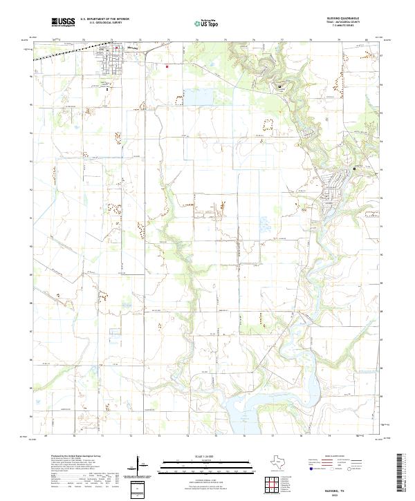
2022 Map of Blessing
USGS Topo · Published 2022About this map
The settlement of Blessing serves as the focal point for this coastal prairie landscape, characterized by a grid of rural roads and the winding path of the Tres Palacios River. A cluster of community landmarks define the town center, including the Saint Peters Catholic Church and a local Cem, reflecting the enduring civic structure of this Matagorda County region. The terrain is deeply influenced by its proximity to the Gulf, with numerous drainage features such as Cashs Creek and Turtle Cr cutting through the agricultural fields.
Find a feature on this map
81 named features on this map. Tap any name to fly to it.
Don’t see what you’re looking for? This feature index may not catch every label — zoom into the map to look around manually.
Map Details
Editions of this 2022 Blessing Map
This is the sole edition of this map. No revisions or reprints were ever made.
Other maps of this area

1952 · Blessing SE
USGS Topo · 1:24,000

1952 · Palacios
USGS Topo · 1:24,000

1952 · Turtle Bay
USGS Topo · 1:24,000

1952 · Francitas
USGS Topo · 1:24,000

1952 · Blessing
USGS Topo · 1:24,000

1952 · Markham
USGS Topo · 1:24,000

1952 · Francitas NE
USGS Topo · 1:24,000

1952 · Midfield
USGS Topo · 1:24,000

1952 · Palacios NE
USGS Topo · 1:24,000

1953 · Beeville
USGS Topo · 1:250,000