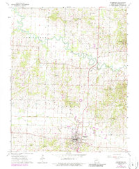
1963 Map of Bloomfield
USGS Topo · Published 1986About this map
Bloomfield serves as the focal point of this Stoddard County landscape, situated atop a ridge overlooking the bottomlands to the west. The area's agricultural and spiritual foundations are evident in the high density of country churches and family burial grounds, such as Union Grove Ch and George Cem in the north, and West Antioch Ch near the southern border. The Castor River meanders through the central portion of the quadrangle, flanked by an Old Railroad Grade that speaks to former transport corridors through the New Lisbon and Pike townships. Further south, the landscape is managed by significant drainage projects like the Lick Creek Ditch, reflecting the local effort to reclaim and utilize the fertile Missouri lowlands. Small communities like Zadock and Aquilla remain anchored to the road network, while numerous Gravel Pits indicate local extractive activity.
Find a feature on this map
36 named features on this map. Tap any name to fly to it.
Don’t see what you’re looking for? This feature index may not catch every label — zoom into the map to look around manually.
Map Details
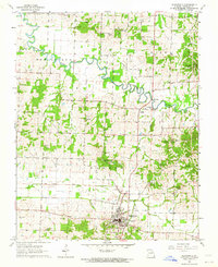
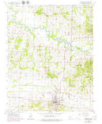
Editions of this 1963 Bloomfield Map
3 editions found
Other maps of this area

1934 · Bloomfield
USGS Topo · 1:62,500

1934 · Advance
USGS Topo · 1:62,500

1934 · Puxico
USGS Topo · 1:62,500

1935 · Zalma
USGS Topo · 1:62,500

1939 · Bloomfield
USGS Topo · 1:62,500

1939 · Advance
USGS Topo · 1:62,500

1939 · Puxico
USGS Topo · 1:62,500

1939 · Zalma
USGS Topo · 1:62,500

1949 · Paducah
USGS Topo · 1:250,000

1949 · Rolla
USGS Topo · 1:250,000