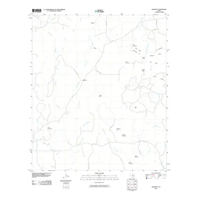
2010 Map of Blowout
USGS Topo · Published 2010About this map
The settlement of Blowout anchors this portion of the Texas Hill Country, where ranch roads and creek drainages dictate the local geography. Long-established burial grounds including Comanche Cemetery and Davis Cemetery reflect the area's pioneer heritage, situated near the banks of Comanche Creek. The landscape is defined by its distinct limestone topography, featuring prominent elevations such as Smith Mountains, Tabletop Mountain, and Indian Peak.
Find a feature on this map
43 named features on this map. Tap any name to fly to it.
Don’t see what you’re looking for? This feature index may not catch every label — zoom into the map to look around manually.
Map Details
Editions of this 2010 Blowout Map
This is the sole edition of this map. No revisions or reprints were ever made.
Other maps of this area

1887 · Llano
USGS Topo · 1:125,000

1887 · Blanco
USGS Topo · 1:125,000

1887 · Burnet
USGS Topo · 1:125,000

1893 · Burnet
USGS Topo · 1:125,000

1894 · Fredericksburg
USGS Topo · 1:125,000

1894 · Blanco
USGS Topo · 1:125,000

1894 · Llano
USGS Topo · 1:125,000

1903 · Burnet
USGS Topo · 1:125,000

1904 · Llano
USGS Topo · 1:125,000

1909 · Llano
USGS Topo · 1:125,000