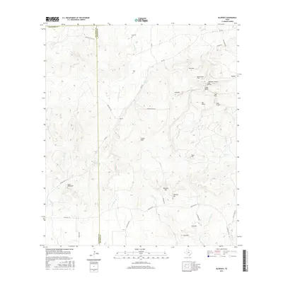
2016 Map of Blowout
USGS Topo · Published 2016About this map
Blowout sits at the heart of this Central Texas landscape, where the boundary between Gillespie and Blanco counties cuts through the hills. This 2016 survey illustrates a terrain defined by complex creek systems and prominent rises, from Tabletop Mtn in the south to Big Mtn in the northeast. The distribution of Comanche Cem and Davis Cem near the upper reaches of Comanche Cr suggests the historical footprint of early ranching families who settled these valleys.
Find a feature on this map
51 named features on this map. Tap any name to fly to it.
Don’t see what you’re looking for? This feature index may not catch every label — zoom into the map to look around manually.
Map Details
Editions of this 2016 Blowout Map
This is the sole edition of this map. No revisions or reprints were ever made.
Other maps of this area

1887 · Llano
USGS Topo · 1:125,000

1887 · Blanco
USGS Topo · 1:125,000

1887 · Burnet
USGS Topo · 1:125,000

1893 · Burnet
USGS Topo · 1:125,000

1894 · Fredericksburg
USGS Topo · 1:125,000

1894 · Blanco
USGS Topo · 1:125,000

1894 · Llano
USGS Topo · 1:125,000

1903 · Burnet
USGS Topo · 1:125,000

1904 · Llano
USGS Topo · 1:125,000

1909 · Llano
USGS Topo · 1:125,000