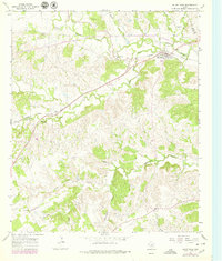
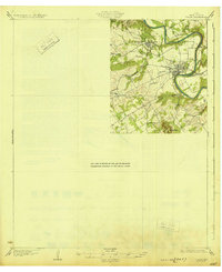
1965 Map of Bluff Dale
USGS Topo · Published 1979About this map
The Bluff Dale community sits at the confluence of the North Paluxy River and South Paluxy River in northeast Erath County. This 1965 survey, updated in the late 1970s, captures a landscape defined by the winding paths of Berrys Creek, Richardson Creek, and Wolf Creek. The Atchison Topeka And Santa Fe railroad cuts diagonally across the terrain, running parallel to the river and connecting the small settlement to the broader regional economy. Family and community history is anchored in sites like the Acrea Cem, Knob Hill Cem, and Wesley Chapel Cem, while the Triangle Ranch and a local Landing Strip reflect the rural ranching operations of the mid-20th century. High points such as Pilot Knob and Knob Hill provide distinct landmarks overlooking a complex network of ranch roads and limestone-rich drainages like Pecan Branch.
Find a feature on this map
28 named features on this map. Tap any name to fly to it.
Don’t see what you’re looking for? This feature index may not catch every label — zoom into the map to look around manually.
Map Details
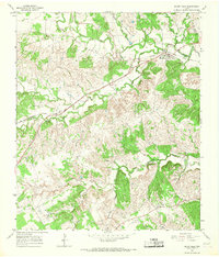
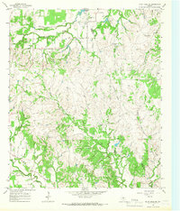
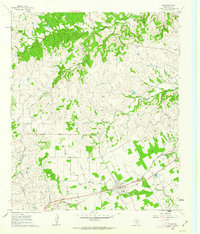
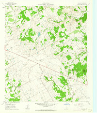
Editions of this 1965 Bluff Dale Map
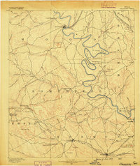
Other maps of this area
1889 · Granbury
USGS Topo · 1:125,000

1890 · Stephenville
USGS Topo · 1:125,000

1920 · Stephenville
USGS Topo · 1:125,000
1931 · Tolar
USGS Topo · 1:62,500

1954 · Dallas
USGS Topo · 1:250,000

1954 · Abilene
USGS Topo · 1:250,000

1958 · Dallas
USGS Topo · 1:250,000

1958 · Abilene
USGS Topo · 1:250,000
1960 · Tolar
USGS Topo · 1:24,000
1961 · Johnsville
USGS Topo · 1:24,000