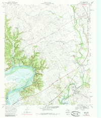
1968 Map of Blum
USGS Topo · Published 1985About this map
Brazos River and Nolan River converge in this northern reach of Lake Whitney, creating a landscape defined by deep river bends and the cattle-driving history of the Chisholm Trail. The topography is marked by significant elevation changes at Kimball Bend and numerous seasonal drainages like Bailey Hollow and Opossum Hollow. Settlement is concentrated along the Atchison Topeka and Santa Fe railroad, which links the communities of Blum and Rio Vista. Genealogists will find several notable burial sites, including Grange Hall Cem, Kyle Cem, and Live Oak Cem. The presence of Fishermans Paradise and Blum Mills Park reflects the mid-century development of the region as a recreational destination following the impoundment of the reservoir.
Find a feature on this map
40 named features on this map. Tap any name to fly to it.
Don’t see what you’re looking for? This feature index may not catch every label — zoom into the map to look around manually.
Map Details
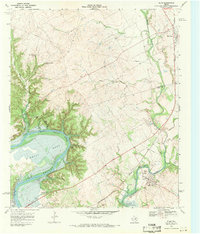
Editions of this 1968 Blum Map
2 editions found
Other maps of this area

1889 · Granbury
USGS Topo · 1:125,000

1891 · Cleburne
USGS Topo · 1:125,000

1894 · Cleburne
USGS Topo · 1:125,000

1924 · Cleburne 3-B
USGS Topo · 1:48,000

1924 · Cleburne 3-C
USGS Topo · 1:48,000

1924 · Granbury 4-a
USGS Topo · 1:48,000

1927 · Blum
USGS Topo · 1:62,500

1928 · Godley
USGS Topo · 1:62,500

1931 · Morgan
USGS Topo · 1:62,500

1954 · Dallas
USGS Topo · 1:250,000