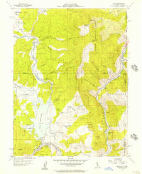
1955 Map of Boca
USGS Topo · Published 1957About this map
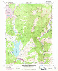
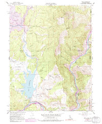
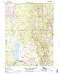
The Boca Reservoir and the Truckee River corridor dominate this mid-century topographic survey of the California-Nevada border. This area showcases the critical water and transport infrastructure supporting the Sierra Nevada region, anchored by the Boca Dam and the Southern Pacific railroad line. The settlement of Floriston sits along the river at the base of the Toiyabe National Forest, while the namesake settlement of Boca is positioned near the junction of the main river and the Little Truckee River.
Find a feature on this map
45 named features on this map. Tap any name to fly to it.
Don’t see what you’re looking for? This feature index may not catch every label — zoom into the map to look around manually.
Map Details
Editions of this 1955 Boca Map
7 editions found
Other maps of this area

1890 · Sierraville
USGS Topo · 1:125,000

1891 · Carson
USGS Topo · 1:125,000

1891 · Truckee
USGS Topo · 1:125,000

1891 · Reno
USGS Topo · 1:125,000

1892 · Sierraville
USGS Topo · 1:125,000

1893 · Carson
USGS Topo · 1:125,000

1893 · Truckee
USGS Topo · 1:125,000

1893 · Reno
USGS Topo · 1:125,000

1894 · Sierraville
USGS Topo · 1:125,000

1895 · Truckee
USGS Topo · 1:125,000