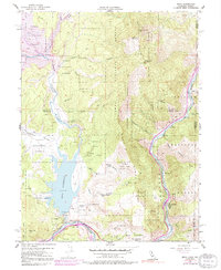
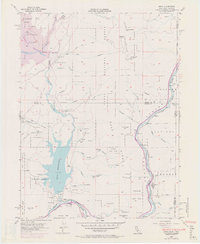
1955 Map of Boca
USGS Topo · Published 1991About this map
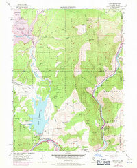
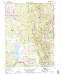
The Little Truckee River and Truckee River define this high-altitude landscape on the California-Nevada border. This mid-century survey captures the region as water management infrastructure began to reshape the terrain, with the Boca Reservoir already established and the future shoreline of the Stampede Reservoir indicated by 1969 revisions. The Southern Pacific River railroad follows the winding river canyon, connecting small settlements and rail-side points like Floriston, Mystic, and Iceland.
Find a feature on this map
37 named features on this map. Tap any name to fly to it.
Don’t see what you’re looking for? This feature index may not catch every label — zoom into the map to look around manually.
Map Details
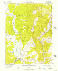
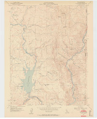
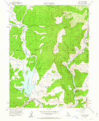
Editions of this 1955 Boca Map
7 editions found
Other maps of this area

1890 · Sierraville
USGS Topo · 1:125,000

1891 · Carson
USGS Topo · 1:125,000

1891 · Truckee
USGS Topo · 1:125,000

1891 · Reno
USGS Topo · 1:125,000

1892 · Sierraville
USGS Topo · 1:125,000

1893 · Carson
USGS Topo · 1:125,000

1893 · Truckee
USGS Topo · 1:125,000

1893 · Reno
USGS Topo · 1:125,000

1894 · Sierraville
USGS Topo · 1:125,000

1895 · Truckee
USGS Topo · 1:125,000