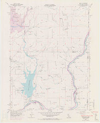
1955 Map of Boca
USGS Topo · Published 1971About this map
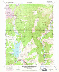
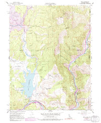
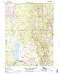
Boca Reservoir and the Little Truckee River dominate this high-altitude landscape along the border of California and Nevada. In the late 1960s, a major hydrological shift is recorded here as the Stampede Dam is shown under construction, which would eventually form the Stampede Reservoir and alter Stampede Valley forever. Along the Southern Pacific Railroad and the Truckee River, small enclaves like Floriston and Boca stand as vital points in the corridor connecting the Sierra Nevada to the Great Basin. The infrastructure of power and water management is evident through the Farad Powerhouse and Boca Dam, while the presence of the Verdi Peak Airway Beacon on the Boca Ridge highlights the era's reliance on terrestrial navigation for mountain aviation. Nearby, Gravel Pits and various springs like Mills Spring suggest the localized industrial and natural resources of the time.
Find a feature on this map
49 named features on this map. Tap any name to fly to it.
Don’t see what you’re looking for? This feature index may not catch every label — zoom into the map to look around manually.
Map Details
Editions of this 1955 Boca Map
7 editions found
Other maps of this area

1890 · Sierraville
USGS Topo · 1:125,000

1891 · Carson
USGS Topo · 1:125,000

1891 · Truckee
USGS Topo · 1:125,000

1891 · Reno
USGS Topo · 1:125,000

1892 · Sierraville
USGS Topo · 1:125,000

1893 · Carson
USGS Topo · 1:125,000

1893 · Truckee
USGS Topo · 1:125,000

1893 · Reno
USGS Topo · 1:125,000

1894 · Sierraville
USGS Topo · 1:125,000

1895 · Truckee
USGS Topo · 1:125,000