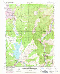
1955 Map of Boca
USGS Topo · Published 1971About this map
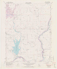
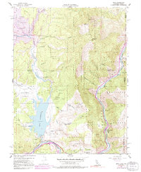
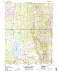
Boca stands at the heart of this Sierra Nevada landscape where the Little Truckee River meets the larger Truckee River. The map captures a significant period of hydrological transformation in the mid-20th century, specifically the construction of the Stampede Reservoir. Purple hatching identifies the lands destined to be submerged as the Stampede Dam was being built, altering Stampede Valley forever. Along the river corridor, the Southern Pacific railroad connects industrial and utility sites like the Farad Powerhouse and the small settlements of Floriston, Hinton, and Iceland. High above the river canyons, the Verdi Peak Airway Beacon marks the transition into the Toiyabe National Forest near the California and Nevada state line. This record is particularly valuable for tracing the original path of the river and the canyons before the completion of the major reservoirs.
Find a feature on this map
45 named features on this map. Tap any name to fly to it.
Don’t see what you’re looking for? This feature index may not catch every label — zoom into the map to look around manually.
Map Details
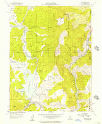
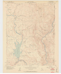
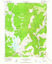
Editions of this 1955 Boca Map
7 editions found
Other maps of this area

1890 · Sierraville
USGS Topo · 1:125,000

1891 · Carson
USGS Topo · 1:125,000

1891 · Truckee
USGS Topo · 1:125,000

1891 · Reno
USGS Topo · 1:125,000

1892 · Sierraville
USGS Topo · 1:125,000

1893 · Carson
USGS Topo · 1:125,000

1893 · Truckee
USGS Topo · 1:125,000

1893 · Reno
USGS Topo · 1:125,000

1894 · Sierraville
USGS Topo · 1:125,000

1895 · Truckee
USGS Topo · 1:125,000