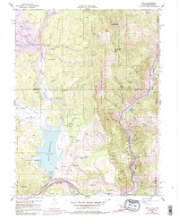
1955 Map of Boca
USGS Topo · Published 1991About this map
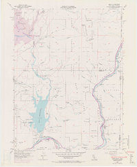
The Truckee River and the Southern Pacific River railroad define the industrial and hydrological character of this Sierra Nevada landscape. At the time of this survey, infrastructure was in a state of significant change, most notably with Stampede Dam being built to create the Stampede Reservoir upstream from Boca Reservoir. These water management projects dominate the terrain between the Verdi Range and Boca Ridge, reflecting the mid-century effort to secure water resources for the region.
Find a feature on this map
40 named features on this map. Tap any name to fly to it.
Don’t see what you’re looking for? This feature index may not catch every label — zoom into the map to look around manually.
Map Details
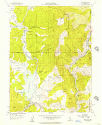
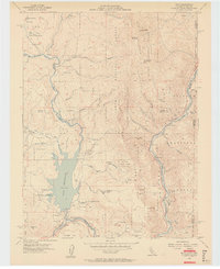
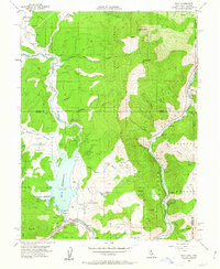
Editions of this 1955 Boca Map
7 editions found
Other maps of this area

1890 · Sierraville
USGS Topo · 1:125,000

1891 · Carson
USGS Topo · 1:125,000

1891 · Truckee
USGS Topo · 1:125,000

1891 · Reno
USGS Topo · 1:125,000

1892 · Sierraville
USGS Topo · 1:125,000

1893 · Carson
USGS Topo · 1:125,000

1893 · Truckee
USGS Topo · 1:125,000

1893 · Reno
USGS Topo · 1:125,000

1894 · Sierraville
USGS Topo · 1:125,000

1895 · Truckee
USGS Topo · 1:125,000