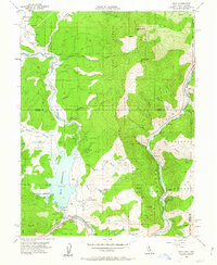
1955 Map of Boca
USGS Topo · Published 1963About this map
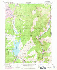
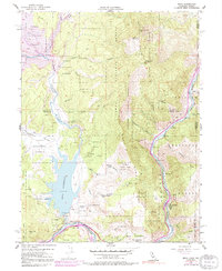
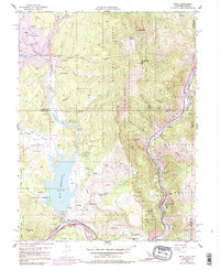
Boca Reservoir and the winding Truckee River anchor this mid-century survey of the high Sierra Nevada borderlands. The landscape is defined by the heavy infrastructure of the Southern Pacific railroad and the critical management of water through the Boca Dam and various flumes. Small settlements and sidings like Boca, Floriston, Iceland, and Hinton trace the rail line as it follows the river canyon through the Tahoe National Forest. The presence of the Farad Powerhouse and multiple gaging stations indicates the region's importance for power generation and water control during the 1950s.
Find a feature on this map
43 named features on this map. Tap any name to fly to it.
Don’t see what you’re looking for? This feature index may not catch every label — zoom into the map to look around manually.
Map Details
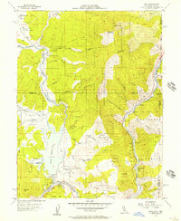
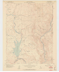
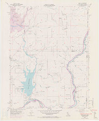
Editions of this 1955 Boca Map
7 editions found
Other maps of this area

1890 · Sierraville
USGS Topo · 1:125,000

1891 · Carson
USGS Topo · 1:125,000

1891 · Truckee
USGS Topo · 1:125,000

1891 · Reno
USGS Topo · 1:125,000

1892 · Sierraville
USGS Topo · 1:125,000

1893 · Carson
USGS Topo · 1:125,000

1893 · Truckee
USGS Topo · 1:125,000

1893 · Reno
USGS Topo · 1:125,000

1894 · Sierraville
USGS Topo · 1:125,000

1895 · Truckee
USGS Topo · 1:125,000