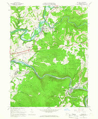
1964 Map of Bolivar
USGS Topo · Published 1966About this map
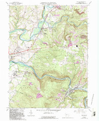
Black Lick and its surrounding heights anchor the northern landscape of this mid-1960s Indiana and Westmoreland County study, where heavy industry and rail transport intersect with the natural flow of the Conemaugh River. The map highlights a significant extractive economy, evidenced by numerous Strip Mines and Quarries dotting the ridges near Josephine and Fairfield Heights. Large institutional and public footprints are visible at the Torrance State Hospital and the sprawling State Game Lands No 153 to the east.
Find a feature on this map
54 named features on this map. Tap any name to fly to it.
Don’t see what you’re looking for? This feature index may not catch every label — zoom into the map to look around manually.
Map Details
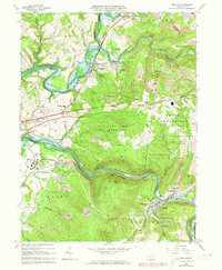
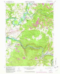
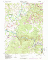
Editions of this 1964 Bolivar Map
6 editions found
Other maps of this area

1900 · Latrobe
USGS Topo · 1:62,500

1902 · Latrobe
USGS Topo · 1:62,500

1902 · Indiana
USGS Topo · 1:62,500

1902 · Elders Ridge
USGS Topo · 1:62,500

1903 · Latrobe
USGS Topo · 1:62,500

1904 · Elders Ridge
USGS Topo · 1:62,500

1920 · New Florence
USGS Topo · 1:62,500

1921 · New Florence
USGS Topo · 1:48,000

1922 · New Florence
USGS Topo · 1:62,500

1944 · New Florence
USGS Topo · 1:62,500
Featured Places
- Brush Valley Township, PA
- Black Lick Township, PA
- Bolivar, PA
- Fairfield Township, PA
- Burrell Township, PA