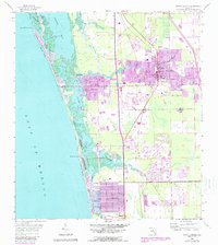
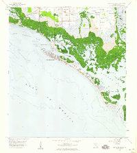
1958 Map of Bonita Springs
USGS Topo · Published 1988About this map
Imperial River and Spring Creek wind through a landscape of developing residential tracts and coastal wetlands in this mid-century view of the Southwest Florida shoreline. The map reveals the expansion of Bonita Springs and Bonita Shores alongside the newer developments at Naples Park and Palm River Estates. An Old RR Grade provides a glimpse into the region's earlier transportation history, while the emergence of modern leisure is marked by a Drive-in Theater and a local Racetrack. Along the Gulf, the natural barrier islands and inlets including Wiggins Pass and Big Hickory Pass remain prominent, buffered by the Barefoot Beach State Preserve. The transition from Lee to Collier County is documented near the Cocohatchee River, showing a period when these coastal communities began to coalesce into their modern forms while still maintaining significant undeveloped marshland.
Find a feature on this map
33 named features on this map. Tap any name to fly to it.
Don’t see what you’re looking for? This feature index may not catch every label — zoom into the map to look around manually.
Map Details
Editions of this 1958 Bonita Springs Map
5 editions found
Other maps of this area

1956 · West Palm Beach
USGS Topo · 1:250,000

1957 · West Palm Beach
USGS Topo · 1:250,000

1958 · West Palm Beach
USGS Topo · 1:250,000

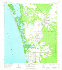
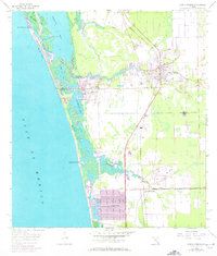
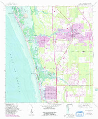
1958 · Bonita Springs
USGS Topo · 1:24,000

1958 · Corkscrew NW
USGS Topo · 1:24,000

1958 · Estero
USGS Topo · 1:24,000

1958 · Belle Meade NW
USGS Topo · 1:24,000

1958 · Corkscrew SW
USGS Topo · 1:24,000
1958 · Fort Myers Beach
USGS Topo · 1:24,000

1958 · Naples North
USGS Topo · 1:24,000