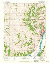
1950 Map of Bonner Springs
USGS Topo · Published 1968About this map
Bonner Springs sits at the eastern edge of this landscape, where the Kansas River makes a wide bend and the terrain transitions from the upland bluffs of Fairmount to the river bottoms of Monticello. The 1950 survey reveals a community-centered rural geography defined by a dense network of country schools, including Coal Ridge Sch, Glenwood Sch, and Walker Sch. Transportation and industry drive the local economy along the river corridor, with the Union Pacific and Atchison Topeka And Santa Fe railroads flanking the water. Evidence of the region's natural resources appears in the scattered Gas Well and Gas Wells labels in the northern sections, while small settlements like Loring and Grandview anchor the rail lines. Local history is preserved in sites such as Riverview Cem near the river and Lenape Cem to the south.
Find a feature on this map
35 named features on this map. Tap any name to fly to it.
Don’t see what you’re looking for? This feature index may not catch every label — zoom into the map to look around manually.
Map Details
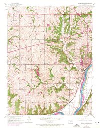
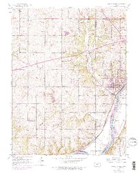
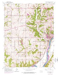
Editions of this 1950 Bonner Springs Map
4 editions found
Other maps of this area

1885 · Lawrence
USGS Topo · 1:125,000

1886 · Oskaloosa
USGS Topo · 1:125,000

1887 · Olathe
USGS Topo · 1:125,000

1888 · Oskaloosa
USGS Topo · 1:125,000

1889 · Lawrence
USGS Topo · 1:125,000

1890 · Kansas City
USGS Topo · 1:125,000

1893 · Olathe
USGS Topo · 1:125,000

1894 · Kansas City
USGS Topo · 1:125,000

1894 · Oskaloosa
USGS Topo · 1:125,000

1934 · Bonner Springs
USGS Topo · 1:48,000