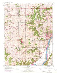
1950 Map of Bonner Springs
USGS Topo · Published 1971About this map
Kansas River waters define the southern and eastern edges of this landscape where the borders of Leavenworth, Wyandotte, and Johnson counties meet. The 1950 data, updated with 1970 aerial photography, reveals the expansion of Bonner Springs and the path of the Kansas Turnpike (Toll Road) cutting across the rural townships of Fairmount and Delaware. The area's mid-century educational network is remarkably dense, featuring several rural institutions such as Coal Ridge Sch and Twist Sch that served the farming communities before widespread consolidation.
Find a feature on this map
30 named features on this map. Tap any name to fly to it.
Don’t see what you’re looking for? This feature index may not catch every label — zoom into the map to look around manually.
Map Details
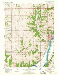
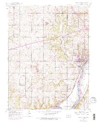
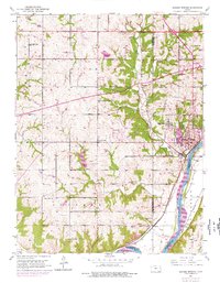
Editions of this 1950 Bonner Springs Map
4 editions found
Other maps of this area

1885 · Lawrence
USGS Topo · 1:125,000

1886 · Oskaloosa
USGS Topo · 1:125,000

1887 · Olathe
USGS Topo · 1:125,000

1888 · Oskaloosa
USGS Topo · 1:125,000

1889 · Lawrence
USGS Topo · 1:125,000

1890 · Kansas City
USGS Topo · 1:125,000

1893 · Olathe
USGS Topo · 1:125,000

1894 · Kansas City
USGS Topo · 1:125,000

1894 · Oskaloosa
USGS Topo · 1:125,000

1934 · Bonner Springs
USGS Topo · 1:48,000