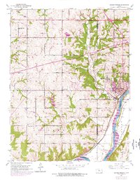
1950 Map of Bonner Springs
USGS Topo · Published 1976About this map
Bonner Springs serves as the focal point for this mid-century landscape, where the confluence of the Kansas River and major rail lines defined the regional economy. The 1970s photorevisions highlight the expanding urban footprint of the town, while the surrounding countryside remains dotted with the small-scale social infrastructure of an earlier era. A remarkable density of local educational history is preserved here, with a string of named rural schoolhouses including Coal Ridge Sch, Walker Sch, and Elm Grove Sch serving the townships of Fairmount and Delaware. The southern reaches are shaped by the heavy infrastructure of the Union Pacific and Atchison Topeka and Santa Fe railroads, which parallel the river near the settlements of Loring and Frisbie. This survey captures the transition from a traditional agricultural and railroad-based landscape to one increasingly bisected by the Kansas Turnpike.
Find a feature on this map
33 named features on this map. Tap any name to fly to it.
Don’t see what you’re looking for? This feature index may not catch every label — zoom into the map to look around manually.
Map Details
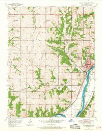
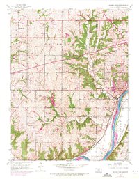
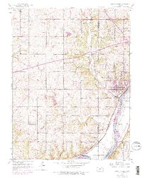
Editions of this 1950 Bonner Springs Map
4 editions found
Other maps of this area

1885 · Lawrence
USGS Topo · 1:125,000

1886 · Oskaloosa
USGS Topo · 1:125,000

1887 · Olathe
USGS Topo · 1:125,000

1888 · Oskaloosa
USGS Topo · 1:125,000

1889 · Lawrence
USGS Topo · 1:125,000

1890 · Kansas City
USGS Topo · 1:125,000

1893 · Olathe
USGS Topo · 1:125,000

1894 · Kansas City
USGS Topo · 1:125,000

1894 · Oskaloosa
USGS Topo · 1:125,000

1934 · Bonner Springs
USGS Topo · 1:48,000