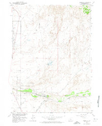
1957 Map of Bonneville
USGS Topo · Published 1974About this map
Bonneville serves as the central focal point of this 1950s landscape, positioned where the Chicago Burlington And Quincy and Chicago And North Western railroads converge. This rail junction is the primary human footprint in a terrain defined by arid watercourses and administrative lines, including the Boysen Reservation Withdrawal Area Boundary which cuts through the western portion of the map. The drainage patterns of Badwater Creek and Tough Creek dominate the natural topography, with a Gaging Station monitoring the flow near the settlement. The infrastructure suggests a landscape built around the logistics of steam and rail, where a solitary Windmill or the Bonneville Reservoir are vital landmarks in an otherwise open Wyoming expanse.
Find a feature on this map
11 named features on this map. Tap any name to fly to it.
Don’t see what you’re looking for? This feature index may not catch every label — zoom into the map to look around manually.
Map Details
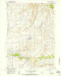
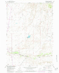
Editions of this 1957 Bonneville Map
3 editions found
Other maps of this area

1950 · Bonneville SW
USGS Topo · 1:24,000

1951 · Boysen
USGS Topo · 1:24,000

1951 · Birdseye Pass
USGS Topo · 1:24,000

1951 · Hidden Valley
USGS Topo · 1:24,000

1951 · Bonneville
USGS Topo · 1:24,000

1951 · Shoshoni
USGS Topo · 1:24,000

1952 · Ocla Draw
USGS Topo · 1:24,000

1952 · Picard Ranch
USGS Topo · 1:24,000

1952 · Guffy Peak
USGS Topo · 1:24,000

1955 · Thermopolis
USGS Topo · 1:250,000