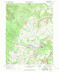
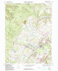
1967 Map of Boswell
USGS Topo · Published 1971About this map
The coal and rail landscape of Somerset County is deeply etched into this 1960s topographic record. Boswell and Jennerstown anchor a region defined by its industrial activity, where the Baltimore and Ohio railroad corridor facilitates the movement of resources from numerous Strip Mines and the Coal Junction intersection. The terrain transitions from the high elevations of Laurel Hill and Pikes Peak in the west, home to State Game Lands No 42, toward the more developed valleys. Cultural history is preserved through the naming of early transportation routes like the Old Forbes Road and a concentration of religious sites, including St Marys Ch and several Catholic cemeteries such as St Stanislaus Cem. Water resources like Stoughton Lake and the Conemaugh Drop Reservoir underscore the managed hydrology necessary for local industry and residential growth in small settlements like Pilltown and Gray.
Find a feature on this map
94 named features on this map. Tap any name to fly to it.
Don’t see what you’re looking for? This feature index may not catch every label — zoom into the map to look around manually.
Map Details
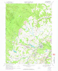
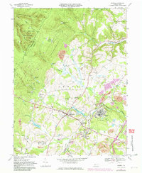
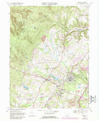
Editions of this 1967 Boswell Map
5 editions found
Other maps of this area

1904 · Johnstown
USGS Topo · 1:62,500

1907 · Johnstown
USGS Topo · 1:62,500

1913 · Somerset
USGS Topo · 1:62,500

1914 · Windber
USGS Topo · 1:62,500

1915 · Somerset
USGS Topo · 1:62,500

1916 · Windber
USGS Topo · 1:62,500

1920 · New Florence
USGS Topo · 1:62,500

1921 · New Florence
USGS Topo · 1:48,000

1922 · New Florence
USGS Topo · 1:62,500

1944 · Somerset
USGS Topo · 1:62,500