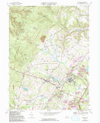
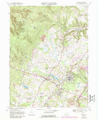
1967 Map of Boswell
USGS Topo · Published 1993About this map
The borough of Boswell sits at the heart of this Somerset County landscape, defined by a legacy of coal extraction and rural community life during the late 20th century. Extensive light purple shading across the terrain indicates where Reclaimed Strip Mine sites and a Reclaimed Mine Dump have been restored, illustrating a significant era of environmental transition. Surrounding the town, numerous small settlements like Pilltown, Ferrellton, and Jenners appear alongside family-centric landmarks such as Klines Mill and Laurel Hill Tabernacle.
Find a feature on this map
80 named features on this map. Tap any name to fly to it.
Don’t see what you’re looking for? This feature index may not catch every label — zoom into the map to look around manually.
Map Details
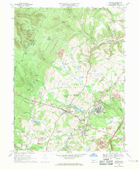
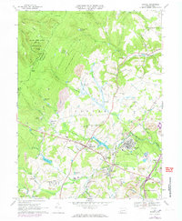
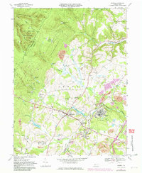
Editions of this 1967 Boswell Map
5 editions found
Other maps of this area

1904 · Johnstown
USGS Topo · 1:62,500

1907 · Johnstown
USGS Topo · 1:62,500

1913 · Somerset
USGS Topo · 1:62,500

1914 · Windber
USGS Topo · 1:62,500

1915 · Somerset
USGS Topo · 1:62,500

1916 · Windber
USGS Topo · 1:62,500

1920 · New Florence
USGS Topo · 1:62,500

1921 · New Florence
USGS Topo · 1:48,000

1922 · New Florence
USGS Topo · 1:62,500

1944 · Somerset
USGS Topo · 1:62,500