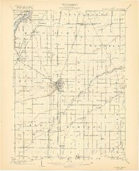
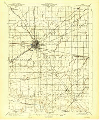
1903 Map of Bowling Green
USGS Topo · Published 1921About this map
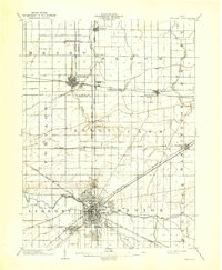
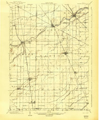
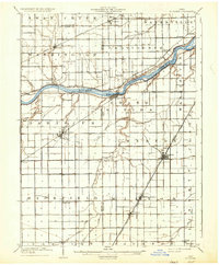
The Bowling Green area at the start of the 20th century was a hub of rapid interurban transit and agricultural commerce. This landscape is crisscrossed by a sophisticated network of steam and electric railways, most notably the Toledo Bowling Green and Southern Traction Line and the Cincinnati Hamilton and Dayton RR, which facilitated movement between small rural settlements like Hull Prairie, Sugar Ridge, and Jerry City. To the northwest, the Maumee River and the parallel Miami and Erie Canal pass through Waterville, marking a corridor of older water-based transportation. The interior is defined by the diverging branches of the Portage River, including North Branch Portage River and Middle Branch Portage River, which weave through the townships of Webster, Freedom, and Liberty.
Find a feature on this map
56 named features on this map. Tap any name to fly to it.
Don’t see what you’re looking for? This feature index may not catch every label — zoom into the map to look around manually.
Map Details
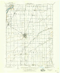
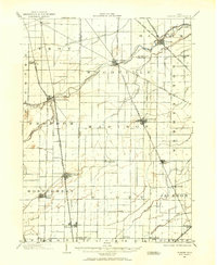
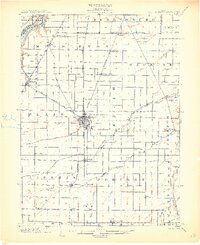
Editions of this 1903 Bowling Green Map
3 editions found

Other maps of this area

1900 · Maumee Bay
USGS Topo · 1:62,500

1900 · Toledo
USGS Topo · 1:62,500

1901 · Fostoria
USGS Topo · 1:62,500
1901 · Bowling Green
USGS Topo · 1:62,500
1901 · Elmore
USGS Topo · 1:62,500
1903 · Bowling Green
USGS Topo · 1:62,500
1903 · Fostoria
USGS Topo · 1:62,500
1903 · Findlay
USGS Topo · 1:62,500
1903 · Elmore
USGS Topo · 1:62,500
1909 · Mc Clure
USGS Topo · 1:62,500