
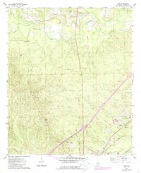
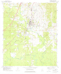
1974 Map of Boyd
USGS Topo · Published 1978About this map
The Sucarnoochee River and its companion, Sucarnoochee Creek, wind through a landscape defined by the intersection of rail history and rural community life. This mid-1970s survey captures the northern edge of York, where the Southern and ST Louis-San Francisco railroads converge. While modern infrastructure like the Radio Tower (WYLS) and Sumter Academy appear near the town center, the outlying areas preserve older footprints. An Old Railroad Grade cuts across the center of the sheet, reflecting shifted transit patterns of the mid-20th century.
Find a feature on this map
38 named features on this map. Tap any name to fly to it.
Don’t see what you’re looking for? This feature index may not catch every label — zoom into the map to look around manually.
Map Details
Editions of this 1974 Boyd Map
2 editions found
Other maps of this area

1929 · Epes
USGS Topo · 1:48,000

1932 · Epes
USGS Topo · 1:62,500

1953 · Meridian
USGS Topo · 1:250,000

1957 · Meridian
USGS Topo · 1:250,000

1965 · Meridian
USGS Topo · 1:250,000

1971 · Bellamy
USGS Topo · 1:24,000
1974 · Tamola
USGS Topo · 1:24,000
1974 · Epes West
USGS Topo · 1:24,000
1974 · Emelle
USGS Topo · 1:24,000
1974 · Livingston
USGS Topo · 1:24,000