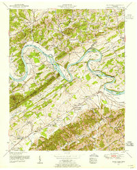
1953 Map of Boyds Creek
USGS Topo · Published 1955About this map
The French Broad River carves a winding path through the borderlands of Knox and Sevier counties, defining a landscape of fertile bottomlands and complex island chains. This mid-century survey highlights the intricate hydrology of the river before modern development, featuring prominent landforms like Seven Islands, Cain Islands, and Brabson Island. Along the northern banks, the terrain rises toward Cline Knob and French Hill, while the southern reaches are characterized by the Smoky Mountain ridge and various gaps such as Ray Gap and Chandler Gap.
Find a feature on this map
85 named features on this map. Tap any name to fly to it.
Don’t see what you’re looking for? This feature index may not catch every label — zoom into the map to look around manually.
Map Details
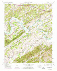
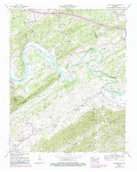
Editions of this 1953 Boyds Creek Map
3 editions found
Other maps of this area

1886 · Knoxville
USGS Topo · 1:125,000

1892 · Knoxville
USGS Topo · 1:125,000

1894 · Knoxville
USGS Topo · 1:125,000

1895 · Knoxville
USGS Topo · 1:125,000

1897 · Maynardville
USGS Topo · 1:125,000

1900 · Maynardville
USGS Topo · 1:125,000

1901 · Knoxville
USGS Topo · 1:125,000

1935 · Mascot
USGS Topo · 1:24,000

1935 · Knoxville
USGS Topo · 1:48,000

1935 · Straw Plains
USGS Topo · 1:48,000