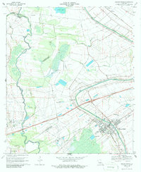
1970 Map of Breaux Bridge
USGS Topo · Published 1972About this map
Bayou Teche and the Vermilion River define the alluvial landscape of this region during the early 1970s. The area is a complex network of waterways, including Coulee Magenta, Coulee Cocodrie, and Bayou Pont Brule, which drain the low-lying terrain between the parishes of St. Martin, Lafayette, and St. Landry. The extractive economy is centered on the Anse La Butte Oil and Gas Field, while agricultural land use is represented by a Crawfish Farm near the northern boundary.
Find a feature on this map
41 named features on this map. Tap any name to fly to it.
Don’t see what you’re looking for? This feature index may not catch every label — zoom into the map to look around manually.
Map Details
Editions of this 1970 Breaux Bridge Map
3 editions found
Other maps of this area

1939 · St. Martinsville
USGS Topo · 1:62,500

1940 · Arnaudville
USGS Topo · 1:62,500

1946 · Lafayette
USGS Topo · 1:31,680

1952 · Lake Charles
USGS Topo · 1:250,000

1954 · Lafayette
USGS Topo · 1:31,680

1954 · Lake Charles
USGS Topo · 1:250,000

1954 · Baton Rouge
USGS Topo · 1:250,000

1955 · Lafayette
USGS Topo · 1:24,000
1955 · Lafayette
USGS Topo · 1:62,500

1956 · Baton Rouge
USGS Topo · 1:250,000