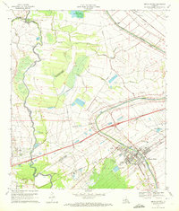
1970 Map of Breaux Bridge
USGS Topo · Published 1986About this map
Bayou Teche defines the cultural and industrial heart of this landscape, winding through the city of Breaux Bridge where modern medical facilities like Gary Memorial Hospital stand near the historic watercourse. In the early 1970s, the region reflected a mix of traditional Acadiana settlement and mid-century industrial development, evidenced by the large Oil and Gas Field south of Gecko.
Find a feature on this map
36 named features on this map. Tap any name to fly to it.
Don’t see what you’re looking for? This feature index may not catch every label — zoom into the map to look around manually.
Map Details
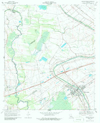
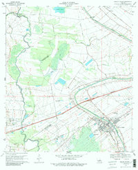
Editions of this 1970 Breaux Bridge Map
3 editions found
Other maps of this area

1939 · St. Martinsville
USGS Topo · 1:62,500

1940 · Arnaudville
USGS Topo · 1:62,500

1946 · Lafayette
USGS Topo · 1:31,680

1952 · Lake Charles
USGS Topo · 1:250,000

1954 · Lafayette
USGS Topo · 1:31,680

1954 · Lake Charles
USGS Topo · 1:250,000

1954 · Baton Rouge
USGS Topo · 1:250,000

1955 · Lafayette
USGS Topo · 1:24,000
1955 · Lafayette
USGS Topo · 1:62,500

1956 · Baton Rouge
USGS Topo · 1:250,000