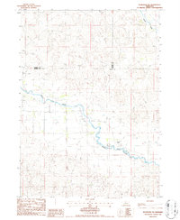
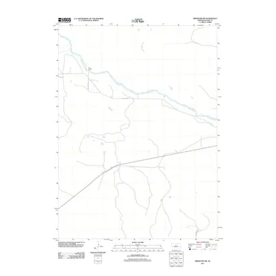
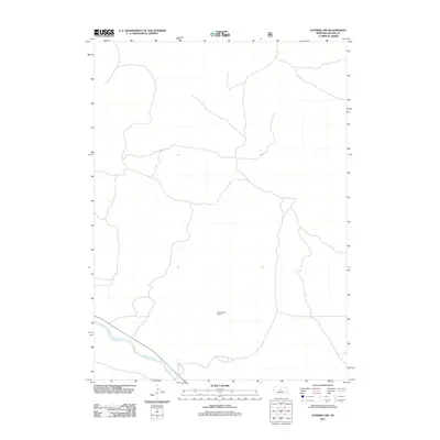
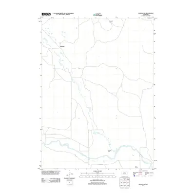
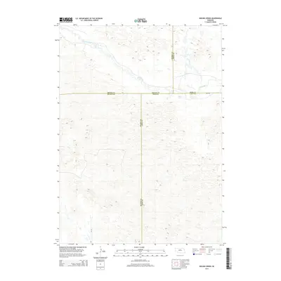
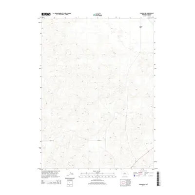
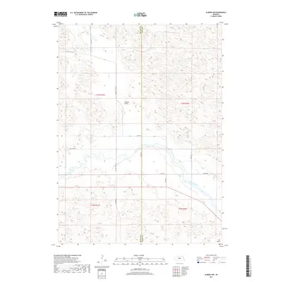
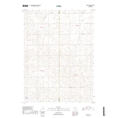
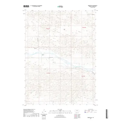
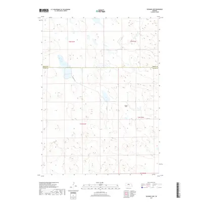
1952 Map of Brewster SE
USGS Topo · Published 1978About this map
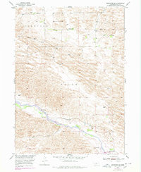
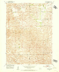
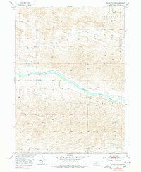
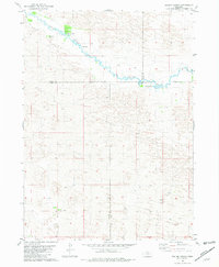
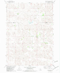
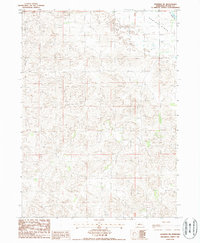
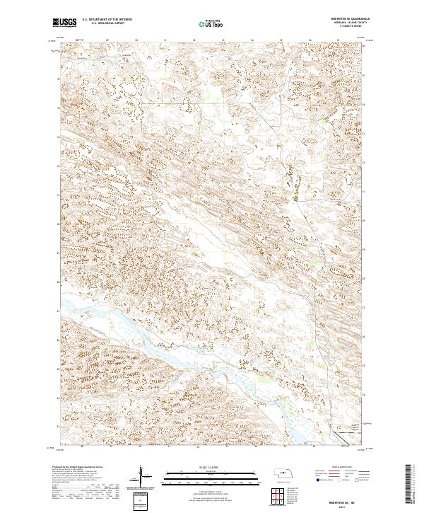
The Middle Loup River winds through the heart of this Blaine County landscape, defining the water-dependent economy of the Nebraska Sandhills. This survey, published as part of the Missouri River Basin development program, illustrates the critical role of irrigation and land management in the mid-20th century. Notable infrastructure such as the Milburn Diversion Dam and the Rankin Ditch network appear alongside an earlier, Rankin Ditch (Abandoned) segment, tracing the evolution of water rights and engineering in the valley. The scattered settlement pattern is anchored by prominent family holdings including Fowler Ranch, Hazen Ranch, and McMillen Ranch, while the presence of School No 61 highlights the rural social structure of the era. The terrain transitions from the river's riparian corridor near Rifle Creek into the upland regions of Brewster and Edith, marked by numerous windmills essential for cattle ranching.
Find a feature on this map
16 named features on this map. Tap any name to fly to it.
Don’t see what you’re looking for? This feature index may not catch every label — zoom into the map to look around manually.
Map Details
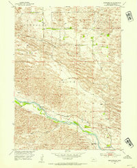
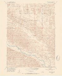
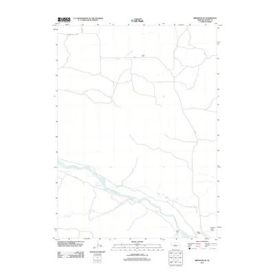
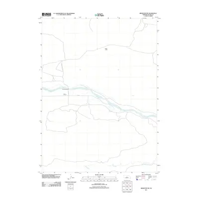
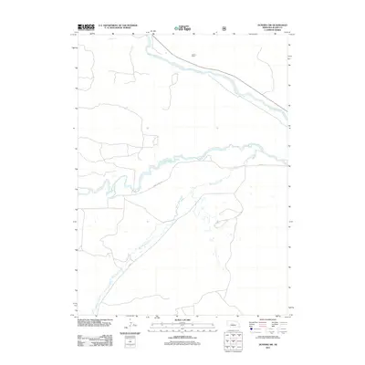
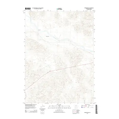
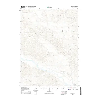
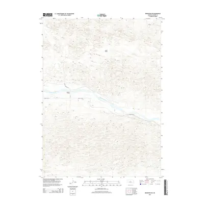
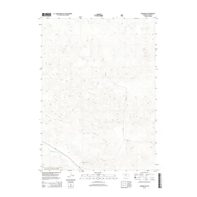
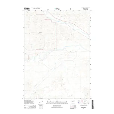
Editions of this 1952 Brewster SE Map
3 editions found
Historical Maps of Blaine County Through Time
65 maps found
1952 Almeria NW
Blaine County, NE
1952 Almeria SW
Blaine County, NE

1952 Brewster NW
Blaine County, NE
1952 Brewster SE
Blaine County, NE
1952 Brewster SW
Blaine County, NE
1981 Boiling Spring
Blaine County, NE
1982 Goldman Lake
Blaine County, NE

1982 Goldman Lake SE
Blaine County, NE
1986 Dunning NE
Blaine County, NE
1986 Dunning NW
Blaine County, NE
1986 Dunning SW
Blaine County, NE
1986 Koshopah
Blaine County, NE
1986 Koshopah SW
Blaine County, NE
2011 Almeria NW
Blaine County, NE
2011 Almeria SW
Blaine County, NE
2011 Boiling Spring
Blaine County, NE
2011 Brewster NW
Blaine County, NE
2011 Brewster SE
Blaine County, NE
2011 Brewster SW
Blaine County, NE
2011 Dunning NE
Blaine County, NE
2011 Dunning NW
Blaine County, NE
2011 Dunning SW
Blaine County, NE
2011 Goldman Lake
Blaine County, NE
2011 Goldman Lake SE
Blaine County, NE
2011 Koshopah
Blaine County, NE
2011 Koshopah SW
Blaine County, NE
2014 Almeria NW
Blaine County, NE
2014 Almeria SW
Blaine County, NE
2014 Boiling Spring
Blaine County, NE
2014 Brewster NW
Blaine County, NE
2014 Brewster SE
Blaine County, NE
2014 Brewster SW
Blaine County, NE
2014 Dunning NE
Blaine County, NE
2014 Dunning NW
Blaine County, NE
2014 Dunning SW
Blaine County, NE
2014 Goldman Lake
Blaine County, NE
2014 Goldman Lake SE
Blaine County, NE
2014 Koshopah
Blaine County, NE
2014 Koshopah SW
Blaine County, NE
2017 Almeria NW
Blaine County, NE
2017 Almeria SW
Blaine County, NE
2017 Boiling Spring
Blaine County, NE
2017 Brewster NW
Blaine County, NE
2017 Brewster SE
Blaine County, NE
2017 Brewster SW
Blaine County, NE
2017 Dunning NE
Blaine County, NE
2017 Dunning NW
Blaine County, NE
2017 Dunning SW
Blaine County, NE
2017 Goldman Lake
Blaine County, NE
2017 Goldman Lake SE
Blaine County, NE
2017 Koshopah
Blaine County, NE
2017 Koshopah SW
Blaine County, NE
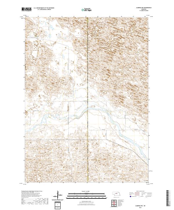
2021 Almeria NW
Blaine County, NE
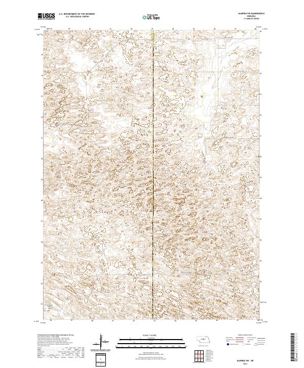
2021 Almeria SW
Blaine County, NE
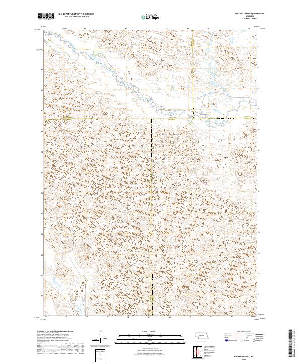
2021 Boiling Spring
Blaine County, NE
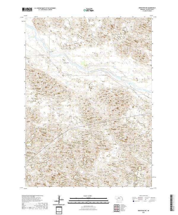
2021 Brewster NW
Blaine County, NE
2021 Brewster SE
Blaine County, NE
2021 Brewster SW
Blaine County, NE
2021 Dunning NE
Blaine County, NE
2021 Dunning NW
Blaine County, NE
2021 Dunning SW
Blaine County, NE
2021 Goldman Lake
Blaine County, NE
2021 Goldman Lake SE
Blaine County, NE
2021 Koshopah
Blaine County, NE
2021 Koshopah SW
Blaine County, NE