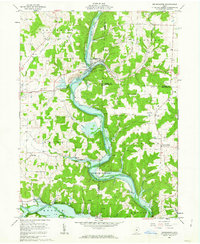
1961 Map of Brinkhaven
USGS Topo · Published 1963About this map
The Mohican River and Kokosing River converge in this pocket of eastern Ohio, where the landscape is defined by deep valleys and the industrial fingerprints of an active Oil Field. At the northern bend of the river sits Brinkhaven (Gann), a primary settlement serving the surrounding townships of Jefferson, Richland, and Union. The map captures a moment of transition for local transit, noting the Old Railroad Grade alongside active lines of the Pennsylvania railroad.
Find a feature on this map
40 named features on this map. Tap any name to fly to it.
Don’t see what you’re looking for? This feature index may not catch every label — zoom into the map to look around manually.
Map Details
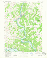
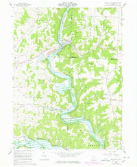
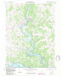
Editions of this 1961 Brinkhaven Map
4 editions found
Other maps of this area

1912 · Loudonville
USGS Topo · 1:62,500

1912 · Gambier
USGS Topo · 1:62,500

1912 · Perrysville
USGS Topo · 1:62,500

1913 · Brinkhaven
USGS Topo · 1:62,500

1914 · Gambier
USGS Topo · 1:62,500

1914 · Loudonville
USGS Topo · 1:62,500

1915 · Brinkhaven
USGS Topo · 1:62,500

1915 · Perrysville
USGS Topo · 1:62,500

1943 · Gambier
USGS Topo · 1:62,500

1943 · Loudonville
USGS Topo · 1:62,500