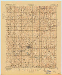
1916 Map of Bristow
USGS Topo · Published 1948About this map
Bristow stands as a central rail and industrial hub in the years following the regional oil boom, characterized by an extensive Oil Tank Farm and the infrastructure of the San Francisco and St Louis railroad. The landscape of Creek County is remarkably dense with rural educational and spiritual centers, featuring dozens of named institutions like the Mills Chapel School, Victor Chapel School, and St James School. This 1910s survey, updated in the late 1940s, preserves the location of the Indian Dance Grounds near the Deep Fork river, offering a rare spatial record of indigenous cultural sites alongside early twentieth-century landmarks like the County Farm. The intricate drainage network, including Polecat Creek and Catfish Creek, dictates the placement of outlying settlements such as Kellyville and Shannon.
Find a feature on this map
69 named features on this map. Tap any name to fly to it.
Don’t see what you’re looking for? This feature index may not catch every label — zoom into the map to look around manually.
Map Details
Editions of this 1916 Bristow Map
5 editions found
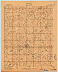
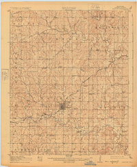
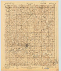
Other maps of this area

1901 · Nuyaka
USGS Topo · 1:125,000

1912 · Hominy
USGS Topo · 1:125,000

1914 · Kiefer
USGS Topo · 1:62,500

1915 · Hominy
USGS Topo · 1:125,000

1916 · Kiefer
USGS Topo · 1:62,500

1916 · Bristow
USGS Topo · 1:62,500

1929 · Yale
USGS Topo · 1:62,500

1929 · Stroud
USGS Topo · 1:62,500

1931 · Drumright
USGS Topo · 1:62,500

1932 · Stroud
USGS Topo · 1:62,500