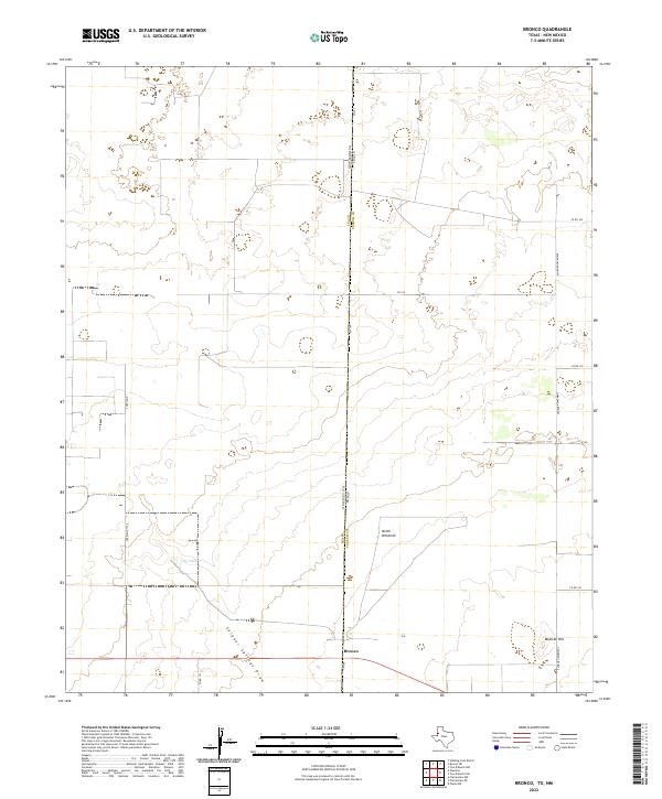
2022 Map of Bronco
USGS Topo · Published 2022About this map
The settlement of Bronco sits directly on the border of Texas and New Mexico, serving as a focal point for this rural landscape in Yoakum County. The terrain is defined by the ephemeral path of Sulphur Springs Draw and the isolated rise of Mexican Hill, which overlooks the surrounding high plains. This contemporary survey by the U.S. Geological Survey illustrates the enduring reliance on water management in this arid region, as seen with features like Oho Tank and North Windmill. A network of local roads and cattle paths, including Copeland and the Ashburn Pavement, connects the dispersed homesteads and ranching operations that characterize the Llano Estacado. The map's grid-like organization reflects the Public Land Survey System divisions that have structured the High Plains since the late 19th century.
Find a feature on this map
19 named features on this map. Tap any name to fly to it.
Don’t see what you’re looking for? This feature index may not catch every label — zoom into the map to look around manually.
Map Details
Editions of this 2022 Bronco Map
This is the sole edition of this map. No revisions or reprints were ever made.
Other maps of this area

1954 · Brownfield
USGS Topo · 1:250,000

1958 · Brownfield
USGS Topo · 1:250,000

1962 · Brownfield
USGS Topo · 1:250,000

1970 · Prairieview NE
USGS Topo · 1:24,000

1970 · Bronco NE
USGS Topo · 1:24,000

1970 · Prairieview NW
USGS Topo · 1:24,000

1970 · Walking Cane Ranch
USGS Topo · 1:24,000

1970 · Gladiola
USGS Topo · 1:24,000

1970 · Bronco
USGS Topo · 1:24,000

1971 · Plains NW
USGS Topo · 1:24,000