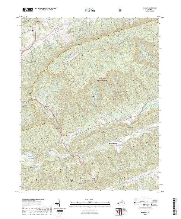
2022 Map of Brumley
USGS Topo · Published 2022About this map
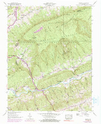
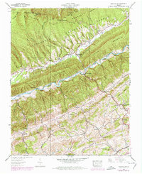
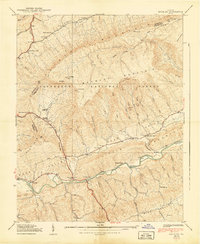
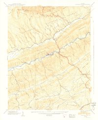
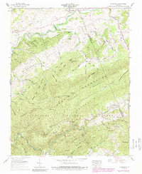
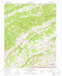
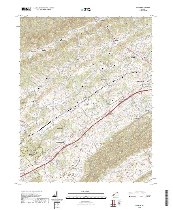
Clinch Mountain and the Brumley Rim dominate this pocket of the Southern Appalachians, where the terrain dictates the path of every road and settlement. The North Fork Holston River winds through the southern reaches of the quadrangle, passing the small communities of Holston and Roebuck. These valleys are defined by narrow hollows and coves, such as Singleton Hollow and Sugar Cove, which provided limited but essential flat land for families in the region.
Find a feature on this map
100 named features on this map. Tap any name to fly to it.
Don’t see what you’re looking for? This feature index may not catch every label — zoom into the map to look around manually.
Map Details
Editions of this 2022 Brumley Map
This is the sole edition of this map. No revisions or reprints were ever made.
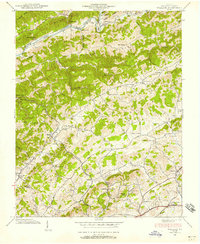
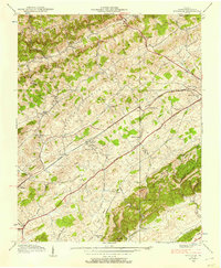
Historical Maps of Mongle Spring Through Time
19 maps found

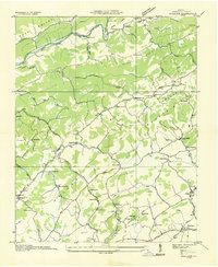
1934 Brumley
Washington County, VA
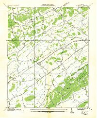
1934 Wallace
Washington County, VA
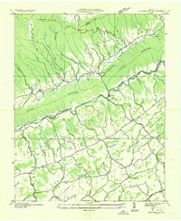
1934 Wyndale
Washington County, VA
1935 Hayters Gap
Washington County, VA

1935 Konnarock
Washington County, VA
1938 Brumley
Washington County, VA
1938 Hayters Gap
Washington County, VA
1938 Wallace
Washington County, VA
1938 Wyndale
Washington County, VA
1939 Brumley
Washington County, VA
1939 Hayters Gap
Washington County, VA
1959 Konnarock
Washington County, VA
1960 Wallace
Washington County, VA
1960 Wyndale
Washington County, VA
2022 Brumley
Washington County, VA
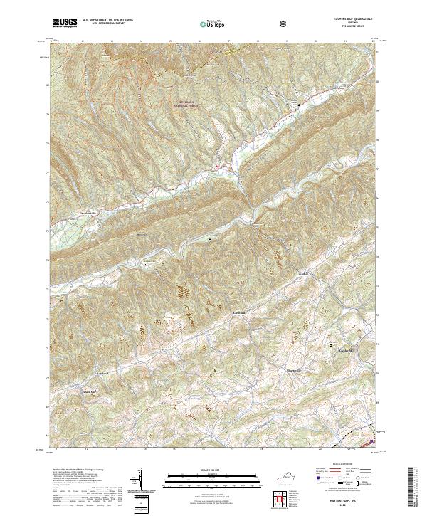
2022 Hayters Gap
Washington County, VA
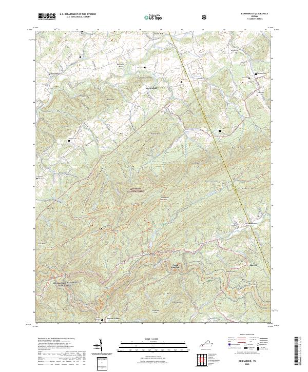
2022 Konnarock
Washington County, VA
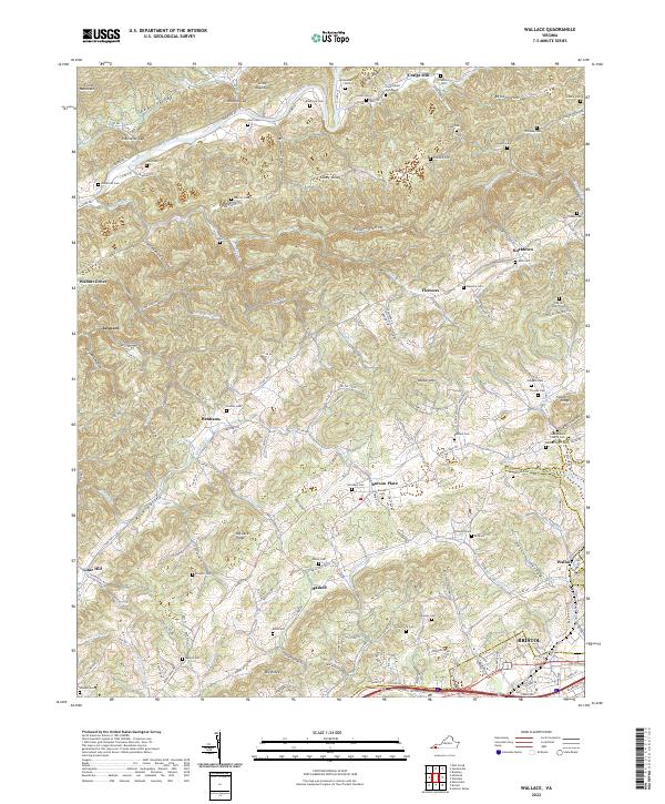
2022 Wallace
Washington County, VA
2022 Wyndale
Washington County, VA