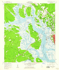
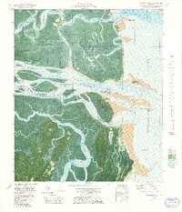
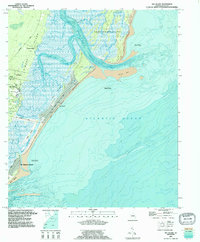
1956 Map of Brunswick West
USGS Topo · Published 1960This historical map portrays the area of Brunswick West in 1956, primarily covering Glynn County as well as portions of Camden County. Featuring a scale of 1:24000, this map provides a highly detailed snapshot of the terrain, roads, buildings, counties, and historical landmarks in the Brunswick West region at the time. Published in 1960, it is one of 2 known editions of this map due to revisions or reprints.
Find a feature on this map
54 named features on this map. Tap any name to fly to it.
Don’t see what you’re looking for? This feature index may not catch every label — zoom into the map to look around manually.
Map Details
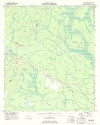
Editions of this 1956 Brunswick West Map
2 editions found
Historical Maps of Ellis Point Through Time
22 maps found

1918 Bladen
Glynn County, GA

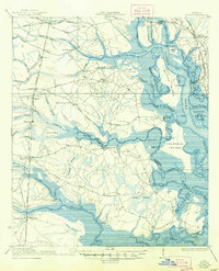
1918 Everett City
Glynn County, GA

1920 Everett City
Glynn County, GA
1939 Bladen
Glynn County, GA

1944 Everett City
Glynn County, GA
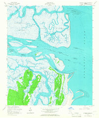
1954 Altamaha Sound
Glynn County, GA
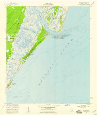
1955 Sea Island
Glynn County, GA
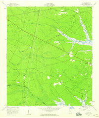
1956 Bladen
Glynn County, GA
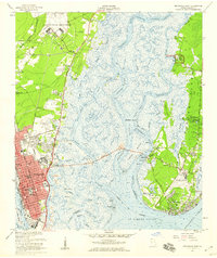
1956 Brunswick East
Glynn County, GA
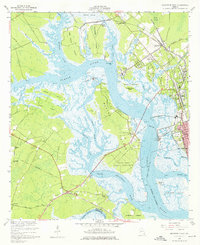
1956 Brunswick West
Glynn County, GA
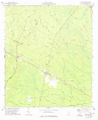
1978 Thalmann
Glynn County, GA
1979 Altamaha Sound
Glynn County, GA
1979 Brunswick East
Glynn County, GA

1979 Brunswick West
Glynn County, GA
1979 Sea Island
Glynn County, GA
1980 Bladen
Glynn County, GA
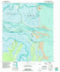
1993 Altamaha Sound
Glynn County, GA
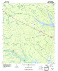
1993 Bladen
Glynn County, GA
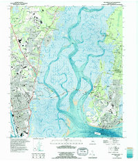
1993 Brunswick East
Glynn County, GA
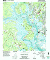
1993 Brunswick West
Glynn County, GA
1993 Sea Island
Glynn County, GA
1993 Thalmann
Glynn County, GA