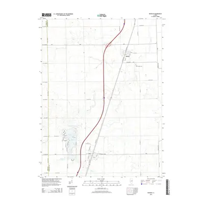
2015 Map of Buckley
USGS Topo · Published 2015About this map
Buckley and Loda anchor this portion of the Iroquois County plains, reflecting a landscape defined by the long-standing agricultural grid and the influence of the railroad corridor. The area's water features are concentrated in the south, where the development around Bayles Lake, Iroquois Lake, and Lake Iroquois contrasts with the surrounding rectangular farm plots. These bodies of water, along with Widner Lake, provide a distinct topographical break from the vast fields that characterize the region. Local heritage is preserved at sites like Saint John's Lutheran Cem near Buckley and Pine Ridge Cem outside Loda. The drainage of the land is primarily managed by Spring Cr, which meanders across the eastern half of the map, while the border between Ford Co and Iroquois Co runs along the western edge, marking a jurisdictional boundary that has shaped local administration for generations.
Find a feature on this map
57 named features on this map. Tap any name to fly to it.
Don’t see what you’re looking for? This feature index may not catch every label — zoom into the map to look around manually.
Map Details
Editions of this 2015 Buckley Map
This is the sole edition of this map. No revisions or reprints were ever made.
Other maps of this area

1924 · Paxton
USGS Topo · 1:62,500

1927 · Paxton
USGS Topo · 1:62,500

1936 · Potomac
USGS Topo · 1:62,500

1939 · Cissna Park
USGS Topo · 1:62,500

1948 · Buckley
USGS Topo · 1:62,500

1949 · Cissna Park
USGS Topo · 1:62,500

1949 · Buckley
USGS Topo · 1:62,500

1949 · Paxton
USGS Topo · 1:62,500

1953 · Danville
USGS Topo · 1:250,000

1955 · Danville
USGS Topo · 1:250,000