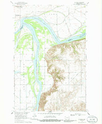
1968 Map of Buford
USGS Topo · Published 1986About this map
The confluence of the Missouri River and the Yellowstone River defines this landscape in the late 1960s, a vital junction where McKenzie and Williams Counties meet. This 1967 photogrammetric survey captures the area just before significant inundation changes, with the Lake Sakakawea backwaters beginning to influence the river levels. The settlement of Buford sits along the Burlington Northern railroad line, positioned near the Fort Buford State Historic Site, which preserves the legacy of this important frontier outpost. The terrain transitions from the river bottomlands, dotted with features like Nohly Lake and Fourmile Creek, to the higher elevations of the Sioux region. Traces of local industry and infrastructure are visible through the inclusion of a Gravel Pit, various Drill Holes, and a long-distance Pipeline crossing the eastern bluffs.
Find a feature on this map
16 named features on this map. Tap any name to fly to it.
Don’t see what you’re looking for? This feature index may not catch every label — zoom into the map to look around manually.
Map Details
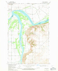
Editions of this 1968 Buford Map
2 editions found
Other maps of this area

1909 · Glendive
USGS Topo · 1:250,000

1953 · Williston
USGS Topo · 1:250,000

1953 · Watford City
USGS Topo · 1:250,000

1954 · Glendive
USGS Topo · 1:250,000

1954 · Wolf Point
USGS Topo · 1:250,000

1957 · Glendive
USGS Topo · 1:250,000

1957 · Williston
USGS Topo · 1:250,000

1957 · Watford City
USGS Topo · 1:250,000

1958 · Wolf Point
USGS Topo · 1:250,000

1958 · Glendive
USGS Topo · 1:250,000