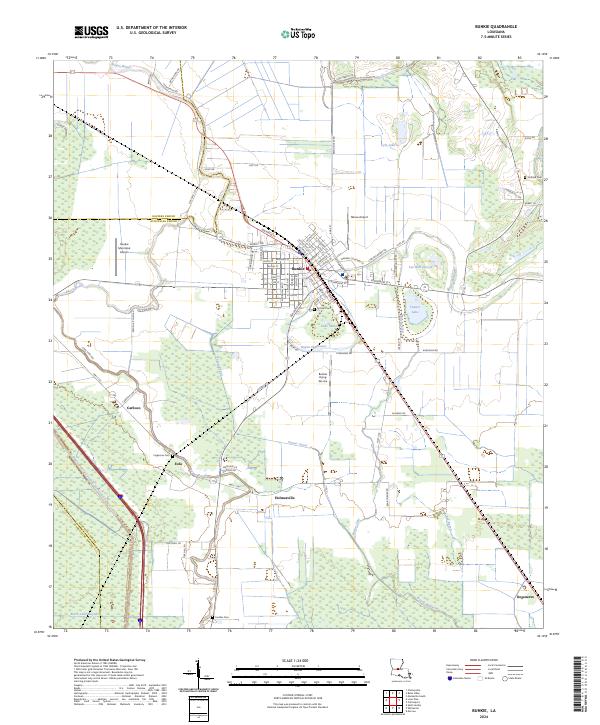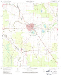
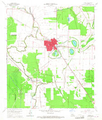
1965 Map of Bunkie
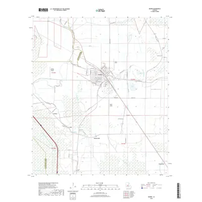
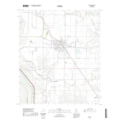
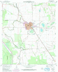
USGS Topo · Published 1984About this map
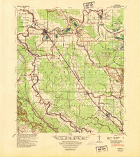
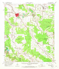
Bunkie serves as a concentrated rail and industrial hub in the mid-1960s, defined by the intersection of the Texas and Pacific and Southern Pacific railroads. The landscape surrounding the town is a complex network of bayous and wetlands, including Bayou Boeuf, Huffpower Bayou, and several lakes such as Lac Bon Garcon and Tanner Lake. This era highlights a transition in the local economy, where traditional water-borne transport and agriculture meet the growing energy sector, evidenced by the Eola Oil and Gas Field and the Cheneyville Gas and Oil Field to the south and west.
Find a feature on this map
46 named features on this map. Tap any name to fly to it.
Don’t see what you’re looking for? This feature index may not catch every label — zoom into the map to look around manually.
Map Details
Editions of this 1965 Bunkie Map
3 editions found
Historical Maps of Bunkie Through Time
8 maps found