Loading...
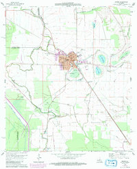
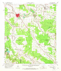
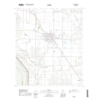
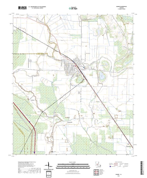
Loading map...1965 Map of Bunkie
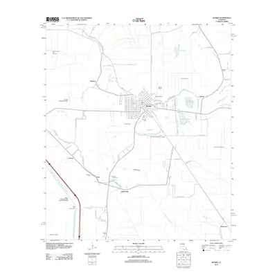
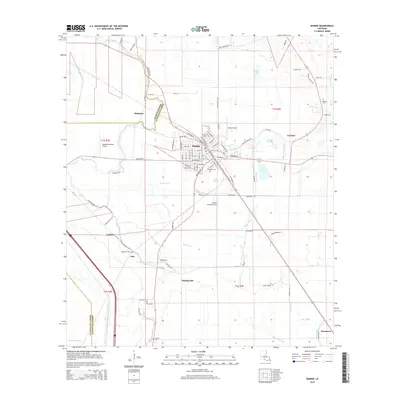
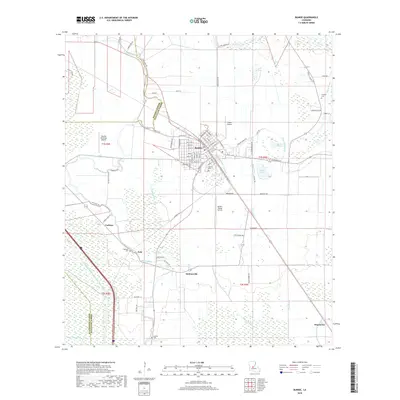
USGS Topo · Published 1992About this map
Bunkie serves as the central hub of this survey, surrounded by a complex network of waterways including Bayou Boeuf, Bayou Rouge, and Bayou Huffpower. The map reveals a landscape defined by both its agricultural roots and its 20th-century energy industry, seen in the Cheyneyville Gas and Oil Field and the Eola Oil and Gas Field. Urban growth is documented through the expansion of schools like St Anthony Sch and Carver High Sch, alongside local landmarks such as the Bunkie Municipal Airport.
Find a feature on this map
39 named features on this map. Tap any name to fly to it.
Don’t see what you’re looking for? This feature index may not catch every label — zoom into the map to look around manually.
Map Details
Date Portrayed1965
Date Published1992
PublisherU.S. Geological Survey
Map TypeTopographic
Scale1:24,000
Physical Dimensions21.6 x 26.7 inches
Editions of this 1965 Bunkie Map
3 editions found
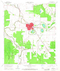
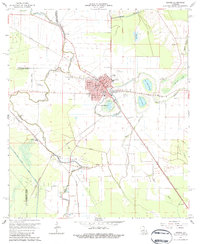
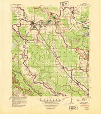
Historical Maps of Bunkie Through Time
8 maps found
Featured Locations
Source Details
SourceU.S. Geological Survey
CopyrightPublic Domain